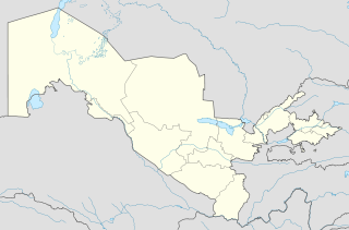
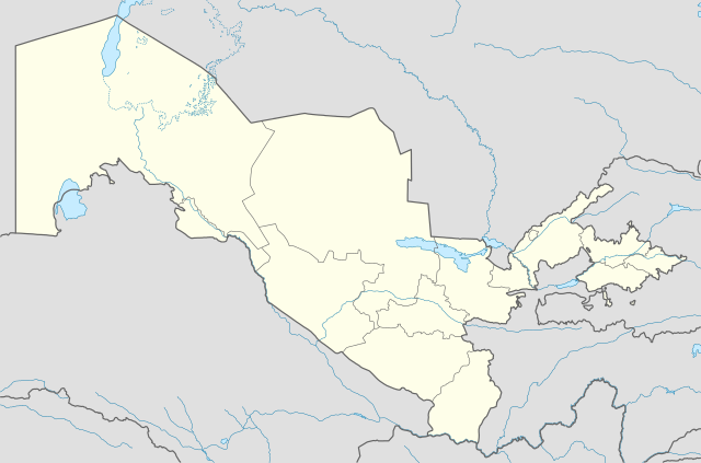
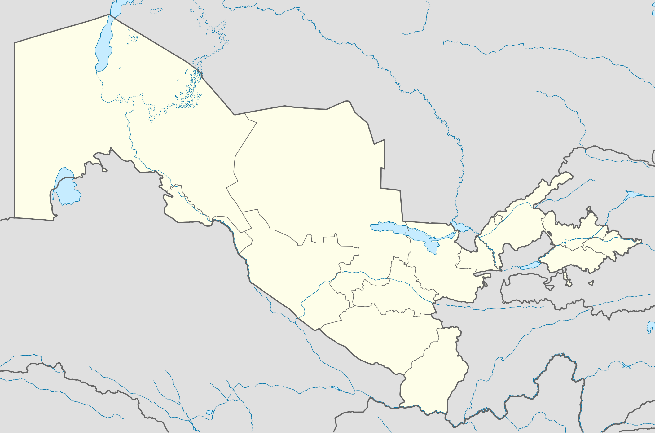
Ofbyld:Uzbekistan location map.svg

Oarspronklik bestân (SVG-bestân, nominaal 2.114 × 1.397 pixels, bestânsgrutte: 306 KB)
Gearfetting
| Beskriuwing |
Deutsch: Positionskarte von Usbekistan
Quadratische Plattkarte, N-S-Streckung 130 %. Geographische Begrenzung der Karte:
English: Location map of Uzbekistan
Equirectangular projection, N/S stretching 130 %. Geographic limits of the map:
|
|
| Datum | ||
| Boarne |
Eigen wurk, using
|
|
| Auteur | NordNordWest | |
| Tastimming (Reusing this file) |
This file is licensed under the Creative Commons Attribution-Share Alike 3.0 Germany license.
 This file is licensed under the Creative Commons Attribution-Share Alike 3.0 Germany license.
|


|
This map has been made or improved in the German Kartenwerkstatt (Map Lab). You can propose maps to improve as well.
|
Triemskiednis
Klik op in datum/tiid om it bestân te besjen sa't it op dat stuit wie.
| Datum/Tiid | Miniatuer | ôfmjittings | Meidogger | Opmerking | |
|---|---|---|---|---|---|
| lêste | 1 aug 2010, 20.49 | | 2.114 × 1.397 (306 KB) | NordNordWest | upd |
| 27 nov 2009, 21.14 |  | 2.114 × 1.397 (419 KB) | NordNordWest | =={{int:filedesc}}== {{Information |Description= {{de|Positionskarte von Usbekistan}} Quadratische Plattkarte, N-S-Streckung 130 %. Geographische Begrenzung der Karte: * N: 45.9° N * S: 36.8° N * W: 55.6° O * O: 73.5° O {{en|Locatio |
Bestânsgebrûk
De neikommende 4 siden brûke dit bestân:
Globaal bestânsgebrûk
De neikommende oare wiki's brûke dit bestân:
- Gebrûk op als.wikipedia.org
- Gebrûk op an.wikipedia.org
- Gebrûk op ar.wikipedia.org
- Gebrûk op azb.wikipedia.org
- Gebrûk op az.wikipedia.org
- Daşkənd
- Səmərqənd
- Buxara
- Fərqanə
- Nukus
- Bibixanım məscidi
- Şablon:Yer xəritəsi Özbəkistan
- Əfrasiyab (qədim şəhər)
- Xivə
- Kokand
- Əndican
- Termez
- Paykənd
- Mərğilan
- Registan meydanı (Səmərqənd)
- Axsikənd
- Baysun
- Əngren
- Paltau çayı
- Çirçik çayı
- Ağbulaq (Çatkal)
- Qaraarça çayı
- Qızılsu çayı (Çirçik)
- Pskem
- Cizak (şəhər)
- Daşkənd Beynəlxalq Hava Limanı
- Nəməngan
- Xanabad (Özbəkistan)
- Mübarək (şəhər)
- Yanqıyol
- Kağan (Özbəkistan)
- Gicduvan
- Vabkənd
Mear globaal gebrûk fan dit bestân besjen.