Ofbyld:Canada Alberta location map 2.svg

Size of this PNG preview of this SVG file: 486 × 599 piksels. Oare resolúsjes: 195 × 240 piksels | 389 × 480 piksels | 623 × 768 piksels | 831 × 1.024 piksels | 1.662 × 2.048 piksels | 1.512 × 1.863 piksels.
Oarspronklik bestân (SVG-bestân, nominaal 1.512 × 1.863 pixels, bestânsgrutte: 736 KB)
| Beskriuwing |
Deutsch: Positionskarte von Alberta, Kanada
Quadratische Plattkarte, N-S-Streckung 170 %. Geographische Begrenzung der Karte:
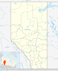
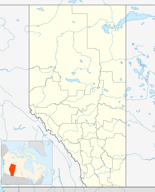
English: Location map of Alberta, Canada, showing the 19 census divisions.
Equirectangular projection, N/S stretching 170%. Geographic limits of the map:
Español: Divisiones censales de Alberta
Français : Les divisions de recensement de l'Alberta
Italiano: Divisioni censuarie dell'Alberta |
| Datum | |
| Boarne | Eigen wurk, File:Canada Alberta location map.svg by NordNordWest |
| Auteur | Hanhil (talk) 05:35, 24 September 2009 (UTC) |
| Tastimming (Reusing this file) |
I, the copyright holder of this work, hereby publish it under the following license: This file is licensed under the Creative Commons Attribution-Share Alike 3.0 Unported license.
|
Triemskiednis
Klik op in datum/tiid om it bestân te besjen sa't it op dat stuit wie.
| Datum/Tiid | Miniatuer | ôfmjittings | Meidogger | Opmerking | |
|---|---|---|---|---|---|
| lêste | 24 sep 2009, 07.35 | | 1.512 × 1.863 (736 KB) | Hanhil | {{Information |Description= {{de|Positionskarte von Alberta, Kanada}} Quadratische Plattkarte, N-S-Streckung 170 %. Geographische Begrenzung der Karte: * N: 60.3° N * S: 48.7° N * W: 123.0° W * O: 107.0° W {{en|Location |
Bestânsgebrûk
De neikommende 19 siden brûke dit bestân:
- Alexis Nakota Sû Naasje
- Banff (Alberta)
- Calgary
- Enoch Kry Naasje
- Enoch Kry Naasje Reservaat 135
- Glenevis (Alberta)
- Maskwacis
- Morley (Alberta)
- Paul Earste Naasje
- Pigeon Lake Reservaat 138A
- Roadeljen op de Olympyske Winterspullen 1988
- Samson Kry Naasje
- Samson Reservaat 137
- Samson Reservaat 137A
- Sarsy Naasje
- Sarsy Naasje Reservaat 145
- Stony Nakoda Naasje
- Wabamun (Alberta)
- Berjocht:Posysjekaart Alberta
Globaal bestânsgebrûk
De neikommende oare wiki's brûke dit bestân:
- Gebrûk op af.wikipedia.org
- Gebrûk op ar.wikipedia.org
- Gebrûk op ast.wikipedia.org
- Gebrûk op azb.wikipedia.org
- Gebrûk op ba.wikipedia.org
- Gebrûk op bg.wikipedia.org
- Gebrûk op bs.wikipedia.org
- Gebrûk op ceb.wikipedia.org
- Gebrûk op ch.wikipedia.org
- Gebrûk op ckb.wikipedia.org
- Gebrûk op cs.wikipedia.org
- Gebrûk op en.wikipedia.org
- Gebrûk op eo.wikipedia.org
Mear globaal gebrûk fan dit bestân besjen.