Ofbyld:Drachten 6.09614E 53.11089N.jpg

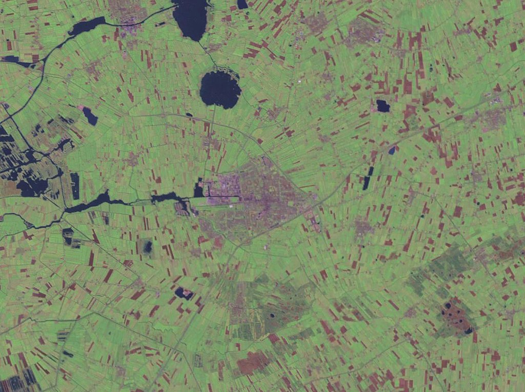
Grutte fan dit proefbyld: 800 × 599 piksels. Oare resolúsjes: 320 × 240 piksels | 640 × 479 piksels | 1.024 × 766 piksels | 1.280 × 958 piksels.
Oarspronklik bestân (1.280 × 958 pixels, bestânsgrutte: 159 KB, MIME-type: image/jpeg)
Gearfetting
| Beskriuwing |
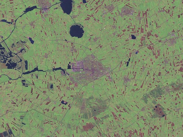
English: Drachten, Netherlands. Satellite view. |
| Datum | 15 maaie 2005 (upload date) |
| Boarne | Satellite imagery taken from NASA World Wind software (by screenshot) |
| Auteur | NASA |
| Object location | | View this and other nearby images on: OpenStreetMap |
|---|
Lisinsje
| This image is in the public domain because it is a screenshot from NASA’s globe software World Wind using a public domain layer, such as Blue Marble, MODIS, Landsat, SRTM, USGS or GLOBE.
|
 |
Triemskiednis
Klik op in datum/tiid om it bestân te besjen sa't it op dat stuit wie.
| Datum/Tiid | Miniatuer | ôfmjittings | Meidogger | Opmerking | |
|---|---|---|---|---|---|
| lêste | 15 mai 2005, 16.02 | | 1.280 × 958 (159 KB) | Rex | NASA World Wind screenshot. {{PD-USGov-NASA}} Category:Maps of The Netherlands |
Bestânsgebrûk
De neikommende 2 siden brûke dit bestân:
Globaal bestânsgebrûk
De neikommende oare wiki's brûke dit bestân:
- Gebrûk op nds-nl.wikipedia.org
- Gebrûk op vo.wikipedia.org
- Gebrûk op zea.wikipedia.org