Ofbyld:Map Tokyo special wards.jpg

Grutte fan dit proefbyld: 582 × 600 piksels. Oare resolúsjes: 233 × 240 piksels | 466 × 480 piksels | 745 × 768 piksels | 994 × 1.024 piksels | 1.963 × 2.023 piksels.
Oarspronklik bestân (1.963 × 2.023 pixels, bestânsgrutte: 4,48 MB, MIME-type: image/jpeg)
Gearfetting
| Description |
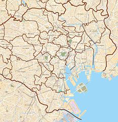
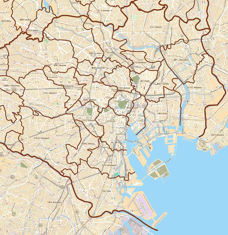
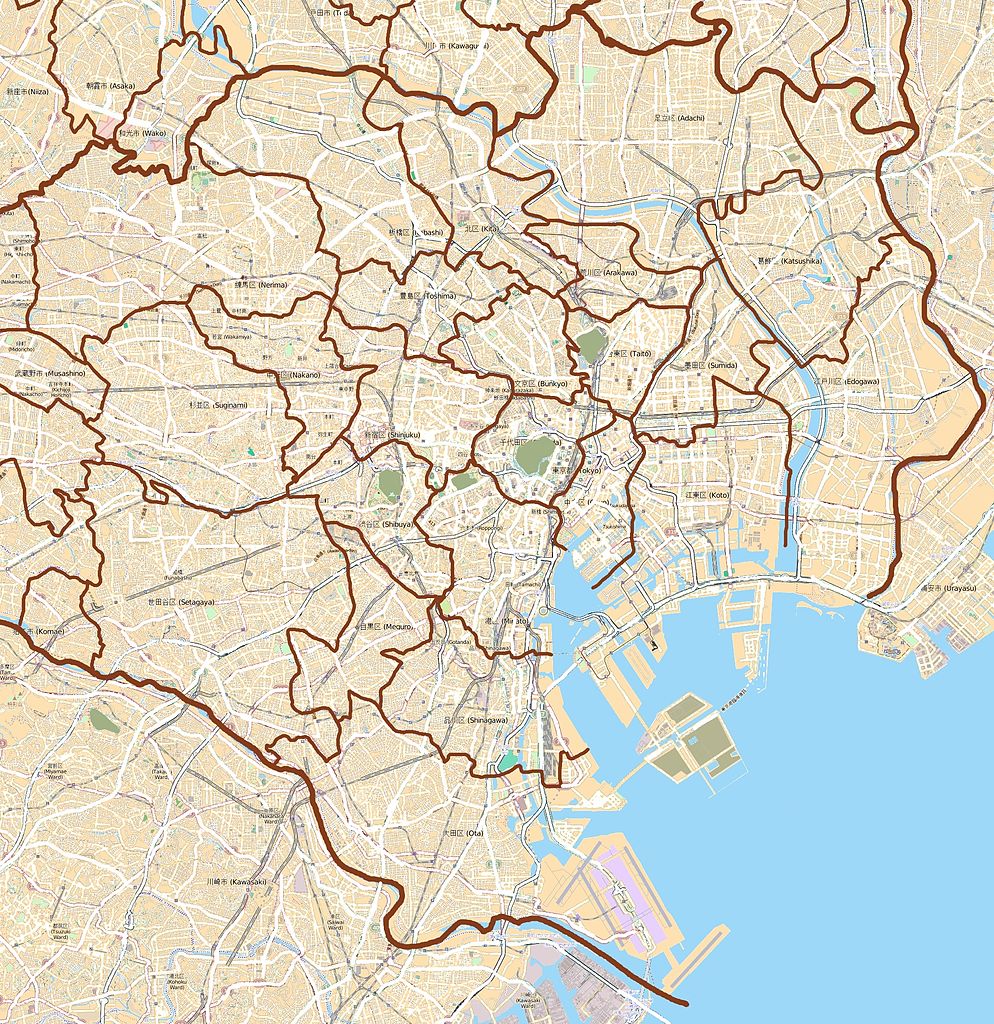
Deze kaart van English: Map of the 23 special wards of Tokyo, Japan
Français : Carte des 23 arrondissements spéciaux de Tokyo, Japon is gemaakt op basis van OpenStreetMap projectgegevens, verzameld door de gemeenschap. Deze kaart kan onvolledig zijn en fouten bevatten. Vertrouw er niet op voor navigatie. |
|||||||||
| Datum | (geschiedenis bestand) | |||||||||
| Boarne | openstreetmap.org | |||||||||
| Makker |
OpenStreetMap bijdragers |
|||||||||
| Tastimming (Reusing this file) |
OpenStreetMap-gegevens en -kaarten zijn gelicentieerd onder de Creative Commons Attribution-ShareAlike 2.0-licentie (CC-BY-SA 2.0). This file is licensed under the Creative Commons Attribution-Share Alike 2.0 Generic license.
|
|||||||||
| Geotemporal data | ||||||||||
| Bounding box |
|
|||||||||
| Georeferencing | If inappropriate please set warp_status = skip to hide. | |||||||||
Lisinsje
I, the copyright holder of this work, hereby publish it under the following license:
This file is licensed under the Creative Commons Attribution-Share Alike 3.0 Unported license.
- Fiel jo frij:
- te dielen – it wurk te kopiearjen, fersprieden en út te stjoeren
- te fermingen – it wurk oan te passen
- Under de neikommende betingsten:
- Nammefermelding – You must give appropriate credit, provide a link to the license, and indicate if changes were made. You may do so in any reasonable manner, but not in any way that suggests the licensor endorses you or your use.
- Lyk diele – If you remix, transform, or build upon the material, you must distribute your contributions under the same or compatible license as the original.
| This work contains information from OpenStreetMap, which is made available under the Open Database License (ODbL).
The ODbL does not require any particular license for maps produced from ODbL data. Prior to 1 August 2020, map tiles produced by the OpenStreetMap Foundation were licensed under the CC-BY-SA-2.0 license. Maps produced by other people may be subject to other licences. |
Triemskiednis
Klik op in datum/tiid om it bestân te besjen sa't it op dat stuit wie.
| Datum/Tiid | Miniatuer | ôfmjittings | Meidogger | Opmerking | |
|---|---|---|---|---|---|
| lêste | 19 jul 2012, 17.45 | | 1.963 × 2.023 (4,48 MB) | XIIIfromTOKYO | colors |
| 4 feb 2012, 21.56 |  | 1.963 × 2.023 (4,56 MB) | XIIIfromTOKYO | Colors | |
| 4 feb 2012, 20.06 |  | 1.963 × 2.023 (1,47 MB) | XIIIfromTOKYO | {{Information |Description ={{en|1=Map of the 23 special wards of Tokyo, Japan}} {{fr|1=Carte des 23 arrondissements spéciaux de Tokyo, Japon}} |Source ={{openstreetmap}} |Author =OpenStreetMap contributors |Date =2012-02-04 |
Bestânsgebrûk
De neikommende 28 siden brûke dit bestân:
- Atletyk op de Paralympyske Simmerspullen 2020
- Badminton op de Paralympyske Simmerspullen 2020
- Bankdrukken op de Paralympyske Simmerspullen 2020
- Basketbal op de Olympyske Simmerspullen 2020/3x3 toernoai - froulju
- Basketbal op de Olympyske Simmerspullen 2020/3x3 toernoai - manlju
- Boksen op de Olympyske Simmerspullen 2020
- Bôgesjitten op de Olympyske Simmerspullen 2020
- Follybal op de Olympyske Simmerspullen 2020
- Gewichtheffen op de Olympyske Simmerspullen 2020
- Hockey op de Olympyske Simmerspullen 2020
- Hynstesport op de Olympyske Simmerspullen 2020
- Hânbal op de Olympyske Simmerspullen 2020
- Judo op de Olympyske Simmerspullen 2020
- Judo op de Paralympyske Simmerspullen 2020
- Kanofarren op de Olympyske Simmerspullen 2020
- Karate op de Olympyske Simmerspullen 2020
- Keunstdûken op de Olympyske Simmerspullen 2020
- Roeien op de Olympyske Simmerspullen 2020
- Sjitsport op de Olympyske Simmerspullen 2020
- Sportklimmen op de Olympyske Simmerspullen 2020
- Strânfollybal op de Olympyske Simmerspullen 2020
- Swimmen op de Paralympyske Simmerspullen 2020
- Syngroanswimmen op de Olympyske Simmerspullen 2020
- Tafeltennis op de Olympyske Simmerspullen 2020
- Tafeltennis op de Paralympyske Simmerspullen 2020
- Triatlon op de Olympyske Simmerspullen 2020
- Wetterpolo op de Olympyske Simmerspullen 2020
- Berjocht:Posysjekaart Tokio
Globaal bestânsgebrûk
De neikommende oare wiki's brûke dit bestân:
- Gebrûk op ar.wikipedia.org
- Gebrûk op bg.wikipedia.org
- Gebrûk op ca.wikipedia.org
- Gebrûk op ceb.wikipedia.org
- Gebrûk op en.wikipedia.org
- Akihabara
- Roppongi
- Shibuya
- Harajuku
- Ōta, Tokyo
- Tokyo Station
- Ōsaki Station
- Shinagawa Station
- Tamachi Station (Tokyo)
- Hamamatsuchō Station
- Harajuku Station
- Shinjuku Station
- Yūrakuchō Station
- Gotanda Station
- Meguro Station
- Ebisu Station (Tokyo)
- Ueno Station
- Ikebukuro Station
- Shibuya Station
- Shimbashi Station
- Yoyogi Station
- Okachimachi Station
- Akihabara Station
- Kanda Station (Tokyo)
- Nakano Station (Tokyo)
- Ochanomizu Station
- Iidabashi Station
- Takadanobaba Station
- Kyōbashi Station (Tokyo)
- Kabukichō
- Mejiro Station
- Nishi-Nippori Station
- Nippori Station
- Shin-Ōkubo Station
- Ōtsuka Station
- Sugamo Station
- Komagome Station
- Futako-tamagawa Station
- Tennōzu Isle Station
- Hiroo Station
- Daikan-yama Station
- Nezu Station
- Kamezuka Park
- Ōtemachi Station (Tokyo)
- Ogikubo Station
Mear globaal gebrûk fan dit bestân besjen.