Ofbyld:MiddleAmerica-pol.jpg
Grutte fan dit proefbyld: 758 × 600 piksels. Oare resolúsjes: 304 × 240 piksels | 607 × 480 piksels | 971 × 768 piksels | 1.280 × 1.012 piksels | 1.320 × 1.044 piksels.
Oarspronklik bestân (1.320 × 1.044 pixels, bestânsgrutte: 284 KB, MIME-type: image/jpeg)


Gearfetting
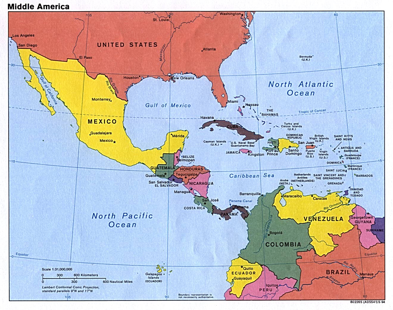
| Beskriuwing | Americas – Middle America: |
| Boarne | CIA, original political map from Perry-Castañeda Library Map Collection; University of Texas Library Online |
| Auteur |
Lisinsje
This work is in the public domain in the United States because it is a work prepared by an officer or employee of the United States Government as part of that person’s official duties under the terms of Title 17, Chapter 1, Section 105 of the US Code.
Note: This only applies to original works of the Federal Government and not to the work of any individual U.S. state, territory, commonwealth, county, municipality, or any other subdivision. This template also does not apply to postage stamp designs published by the United States Postal Service since 1978. (See § 313.6(C)(1) of Compendium of U.S. Copyright Office Practices). It also does not apply to certain US coins; see The US Mint Terms of Use.
|
 | |
| This file has been identified as being free of known restrictions under copyright law, including all related and neighboring rights. | ||
Triemskiednis
Klik op in datum/tiid om it bestân te besjen sa't it op dat stuit wie.
| Datum/Tiid | Miniatuer | ôfmjittings | Meidogger | Opmerking | |
|---|---|---|---|---|---|
| lêste | 25 mrt 2007, 21.00 | | 1.320 × 1.044 (284 KB) | Corticopious | Middle America: political map (CIA) |
Bestânsgebrûk
De neikommende side brûkt dit bestân:
Globaal bestânsgebrûk
De neikommende oare wiki's brûke dit bestân:
- Gebrûk op ca.wikipedia.org
- Gebrûk op ckb.wikipedia.org
- Gebrûk op de.wikipedia.org
- Gebrûk op en.wikipedia.org
- Gebrûk op es.wikipedia.org
- Gebrûk op fa.wikipedia.org
- Gebrûk op fi.wikipedia.org
- Gebrûk op id.wikipedia.org
- Resolusi 530 Dewan Keamanan Perserikatan Bangsa-Bangsa
- Resolusi 562 Dewan Keamanan Perserikatan Bangsa-Bangsa
- Resolusi 637 Dewan Keamanan Perserikatan Bangsa-Bangsa
- Resolusi 644 Dewan Keamanan Perserikatan Bangsa-Bangsa
- Resolusi 656 Dewan Keamanan Perserikatan Bangsa-Bangsa
- Resolusi 691 Dewan Keamanan Perserikatan Bangsa-Bangsa
- Resolusi 719 Dewan Keamanan Perserikatan Bangsa-Bangsa
- Resolusi 730 Dewan Keamanan Perserikatan Bangsa-Bangsa
- Gebrûk op ilo.wikipedia.org
- Gebrûk op ja.wikipedia.org
- Gebrûk op ka.wikipedia.org
- Gebrûk op mzn.wikipedia.org
Mear globaal gebrûk fan dit bestân besjen.