Ofbyld:Normandy map.png
Grutte fan dit proefbyld: 800 × 571 piksels. Oare resolúsjes: 320 × 229 piksels | 640 × 457 piksels | 1.024 × 731 piksels | 1.280 × 914 piksels | 1.966 × 1.404 piksels.
Oarspronklik bestân (1.966 × 1.404 pixels, bestânsgrutte: 238 KB, MIME-type: image/png)

|
This locator map image could be re-created using vector graphics as an SVG file. This has several advantages; see Commons:Media for cleanup for more information. If an SVG form of this image is available, please upload it and afterwards replace this template with
{{vector version available|new image name}}.
It is recommended to name the SVG file “Normandy map.svg”—then the template Vector version available (or Vva) does not need the new image name parameter. |
Gearfetting
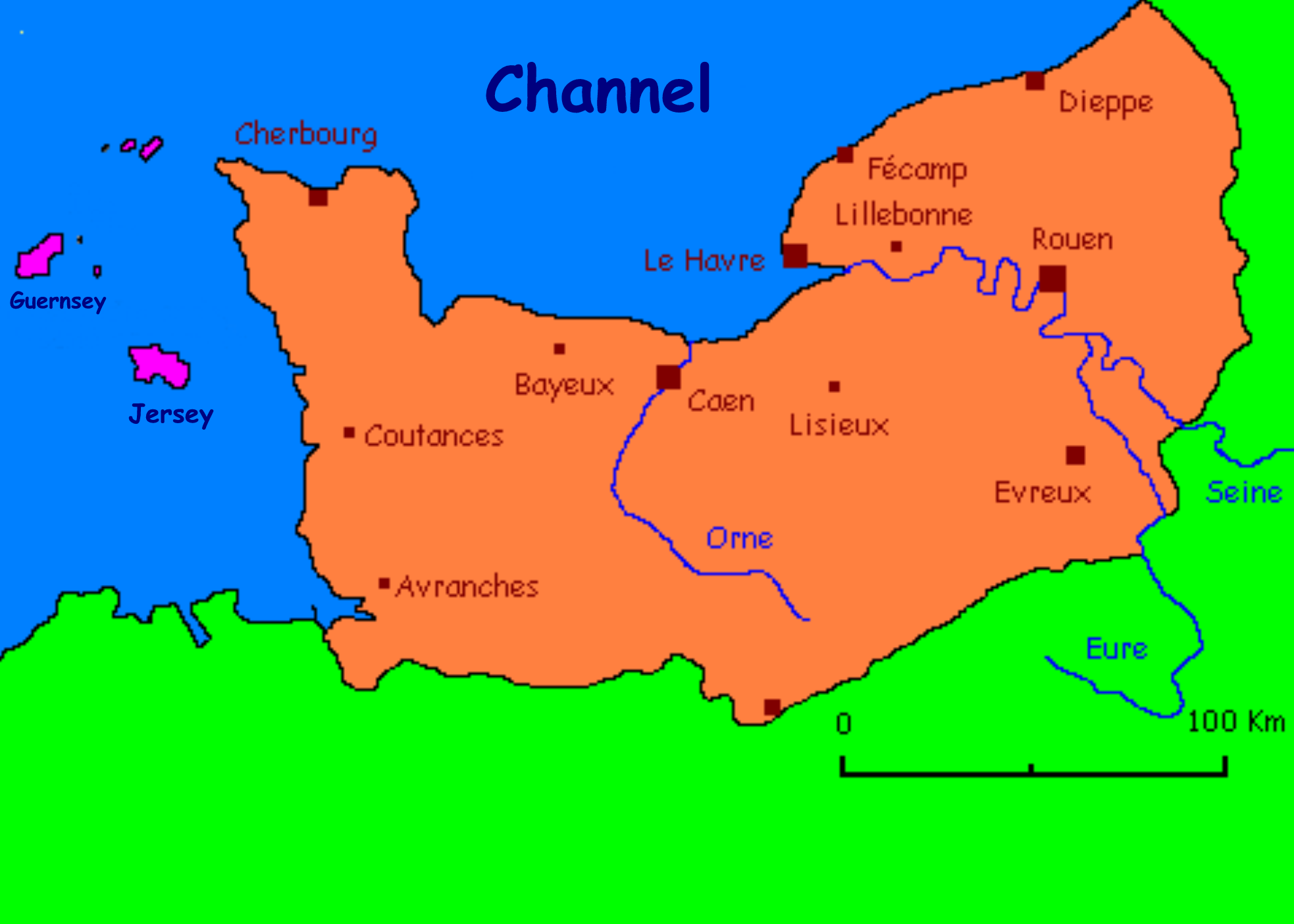
Carte présentant quelques villes normandes/ Carte réalisée par l'utilisateur fr:Utilisateur:Urban
Anglicised by User:Man vyi
derivative works
Derivative works of this file: Lassy in Normandy.jpg
Lisinsje

|
Der wurdt tastimming jûn ta kopiearjen, fersprieden en/of wizigjen fan dit dokumint ûnder de betinksten fan de GNU-lisinsje foar iepen dokumintaasje, ferzje 1.2, as eltse lettere ferzje útjûn troch de Free Software Foundation; sûnder Ynfariante Seksjes, sûnder Omkaftteksten foar de Foarkante en sûnder Omkaftteksten foar de Efterkante. In kopy fan de lisinsje is opnaam yn de seksje "Text of the GNU Free Documentation License". |
| This file is licensed under the Creative Commons Attribution-Share Alike 3.0 Unported license. | ||
| ||
| This licensing tag was added to this file as part of the GFDL licensing update. |
| Annotations | This image is annotated: View the annotations at Commons |
Triemskiednis
Klik op in datum/tiid om it bestân te besjen sa't it op dat stuit wie.
| Datum/Tiid | Miniatuer | ôfmjittings | Meidogger | Opmerking | |
|---|---|---|---|---|---|
| lêste | 9 jun 2010, 00.40 | | 1.966 × 1.404 (238 KB) | Ras67 | cropped |
| 8 nov 2005, 09.10 |  | 2.048 × 1.470 (265 KB) | Man vyi | Carte présentant quelques villes normandes/ Carte réalisée par l'utilisateur fr:Utilisateur:Urban Anglicised by User:Man vyi Category:Normandy |
Bestânsgebrûk
De neikommende side brûkt dit bestân:
Globaal bestânsgebrûk
De neikommende oare wiki's brûke dit bestân:
- Gebrûk op ang.wikipedia.org
- Gebrûk op an.wikipedia.org
- Gebrûk op ar.wikipedia.org
- Gebrûk op ast.wikipedia.org
- Gebrûk op azb.wikipedia.org
- Gebrûk op az.wikipedia.org
- Gebrûk op be-tarask.wikipedia.org
- Gebrûk op be.wikipedia.org
- Gebrûk op ca.wikipedia.org
- Gebrûk op de.wikipedia.org
- Gebrûk op en.wikipedia.org
- Gebrûk op eo.wikipedia.org
- Gebrûk op es.wikipedia.org
- Gebrûk op eu.wikipedia.org
- Gebrûk op fa.wikipedia.org
- Gebrûk op he.wikipedia.org
- Gebrûk op hy.wikipedia.org
- Gebrûk op id.wikipedia.org
- Gebrûk op ja.wikipedia.org
- Gebrûk op jv.wikipedia.org
- Gebrûk op kk.wikipedia.org
- Gebrûk op kw.wikipedia.org
- Gebrûk op lv.wikipedia.org
- Gebrûk op mn.wikipedia.org
- Gebrûk op mr.wikipedia.org
- Gebrûk op nds.wikipedia.org
- Gebrûk op nn.wikipedia.org
- Gebrûk op ru.wikipedia.org
- Gebrûk op ru.wiktionary.org
- Gebrûk op sco.wikipedia.org
- Gebrûk op sk.wikipedia.org
- Gebrûk op ta.wikipedia.org
- Gebrûk op tl.wikipedia.org
- Gebrûk op tr.wikipedia.org
- Gebrûk op ug.wikipedia.org
- Gebrûk op uk.wikipedia.org
- Gebrûk op vec.wikipedia.org
- Gebrûk op wa.wikipedia.org
- Gebrûk op zh-min-nan.wikipedia.org
Mear globaal gebrûk fan dit bestân besjen.