Ofbyld:OpenStreetMap Cape Town small.svg

Oarspronklik bestân (SVG-bestân, nominaal 496 × 399 pixels, bestânsgrutte: 10,71 MB)
| Description |
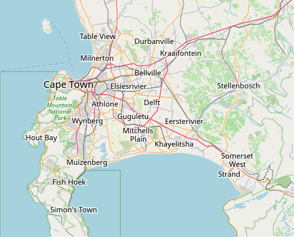
Deze kaart van Cape Town is gemaakt op basis van OpenStreetMap projectgegevens, verzameld door de gemeenschap. Deze kaart kan onvolledig zijn en fouten bevatten. Vertrouw er niet op voor navigatie. |
|||||||||
| Datum | (geschiedenis bestand) | |||||||||
| Boarne | openstreetmap.org | |||||||||
| Makker |
OpenStreetMap bijdragers |
|||||||||
| Tastimming (Reusing this file) |
OpenStreetMap-gegevens zijn beschikbaar onder de Open Database Licentie (details). Kaarttegels zijn gelicentieerd onder de Creative Commons Attribution-ShareAlike 2.0-licentie (CC-BY-SA 2.0).
This file is licensed under the Creative Commons Attribution-Share Alike 2.0 Generic license.
|
|||||||||
| Geotemporal data | ||||||||||
| Bounding box |
|
|||||||||
| Georeferencing | If inappropriate please set warp_status = skip to hide. | |||||||||
derivative works
Derivative works of this file: OpenStreetMap Kaapstad klein Afrikaans.svg
Triemskiednis
Klik op in datum/tiid om it bestân te besjen sa't it op dat stuit wie.
| Datum/Tiid | Miniatuer | ôfmjittings | Meidogger | Opmerking | |
|---|---|---|---|---|---|
| lêste | 16 jan 2022, 11.11 | | 496 × 399 (10,71 MB) | Htonl | customize labels |
| 16 jan 2022, 10.27 |  | 496 × 399 (12,15 MB) | Htonl | update | |
| 12 jan 2011, 09.12 |  | 424 × 351 (1,71 MB) | Htonl | *tiny* tweak | |
| 12 jan 2011, 09.07 |  | 424 × 351 (1,72 MB) | Htonl | bounds | |
| 3 feb 2010, 18.36 |  | 496 × 399 (2,36 MB) | Htonl | {{OpenStreetMap|location=Cape Town}} Category:OpenStreetMap maps of South Africa |
Bestânsgebrûk
De neikommende side brûkt dit bestân:
Globaal bestânsgebrûk
De neikommende oare wiki's brûke dit bestân:
- Gebrûk op af.wikipedia.org
- Constantia
- Steenberg
- Athlone
- Bo-Kaap
- Table View
- Goodwood
- Pinelands
- Strand, Wes-Kaap
- Nuweland
- Wynberg
- Rondebosch
- Rosebank, Kaapstad
- Claremont, Kaapstad
- Mowbray
- Zwaanswyk
- Kaapstad Internasionale Lughawe
- Maitland
- Seepunt
- Drieankerbaai
- Brackenfell
- Observatory
- Soutrivier
- Woodstock
- Plumstead
- Llandudno
- Bergvliet
- Bishopscourt
- Heathfield
- Monte Vista
- Lansdowne
- Milnerton
- Kalkbaai
- Noordhoek
- Oranjezicht
- Tamboerskloof
- Hoërskool Durbanville
- Belhar
- Kampsbaai
- Higgovale
- Vredehoek
- Clifton
- Schotsche Kloof
- Zonnebloem
- Mouillepunt
- Elsiesrivier
- Bantrybaai
- Blue Downs
- Crawford
- Ottery
- Mfuleni
Mear globaal gebrûk fan dit bestân besjen.