Ofbyld:Soldier Field Chicago aerial view.jpg

Grutte fan dit proefbyld: 753 × 599 piksels. Oare resolúsjes: 302 × 240 piksels | 603 × 480 piksels | 965 × 768 piksels | 1.280 × 1.019 piksels | 1.500 × 1.194 piksels.
Oarspronklik bestân (1.500 × 1.194 pixels, bestânsgrutte: 606 KB, MIME-type: image/jpeg)
| Beskriuwing |
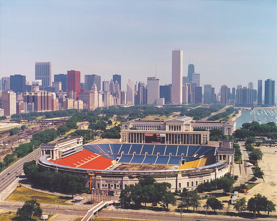
English: Aerial view of Soldier Field and the skyline of Chicago, Illinois, USA. |
|||
| Datum | ||||
| Boarne |
U.S. Army Corps of Engineers Digital Visual Library Image page Image description page Digital Visual Library home page |
|||
| Auteur | Dale Fisher, U.S. Army Corps of Engineers | |||
| Tastimming (Reusing this file) |
|
|||
| Oare ferzjes | ||||
| Location | Chicago, Illinois, USA |
.jpg)
| Camera location | | View this and other nearby images on: OpenStreetMap |
|---|
Triemskiednis
Klik op in datum/tiid om it bestân te besjen sa't it op dat stuit wie.
| Datum/Tiid | Miniatuer | ôfmjittings | Meidogger | Opmerking | |
|---|---|---|---|---|---|
| lêste | 1 apr 2007, 02.26 | | 1.500 × 1.194 (606 KB) | DanMS | {{Information | Description = {{en|Aerial view of Soldier Field and the skyline of Chicago, Illinois, USA.}} | Source = U.S. Army Corps of Engineers Digital Visual Library<br />[http://images.usace.army.mil/images/Hires/LRE0016.jpg Image page]< |
Bestânsgebrûk
De neikommende side brûkt dit bestân:
Globaal bestânsgebrûk
De neikommende oare wiki's brûke dit bestân:
- Gebrûk op af.wikipedia.org
- Gebrûk op als.wikipedia.org
- Gebrûk op am.wikipedia.org
- Gebrûk op ast.wikipedia.org
- Gebrûk op bg.wikipedia.org
- Gebrûk op bs.wikipedia.org
- Gebrûk op ca.wikipedia.org
- Gebrûk op de.wikipedia.org
- Gebrûk op el.wikipedia.org
- Gebrûk op en.wikipedia.org
- Gebrûk op es.wikipedia.org
- Gebrûk op fa.wikipedia.org
- Gebrûk op fr.wikipedia.org
- Gebrûk op he.wikipedia.org
- Gebrûk op hi.wikipedia.org
- Gebrûk op hu.wikipedia.org
- Gebrûk op hy.wikipedia.org
- Gebrûk op id.wikipedia.org
- Gebrûk op it.wikipedia.org
- Gebrûk op ja.wikipedia.org
- Gebrûk op ka.wikipedia.org
- Gebrûk op kn.wikipedia.org
- Gebrûk op ko.wikipedia.org
Mear globaal gebrûk fan dit bestân besjen.