Ofbyld:USA Wisconsin location map.svg

Size of this PNG preview of this SVG file: 585 × 599 piksels. Oare resolúsjes: 234 × 240 piksels | 468 × 480 piksels | 749 × 768 piksels | 999 × 1.024 piksels | 1.998 × 2.048 piksels | 1.171 × 1.200 piksels.
Oarspronklik bestân (SVG-bestân, nominaal 1.171 × 1.200 pixels, bestânsgrutte: 606 KB)
Gearfetting
| Beskriuwing |
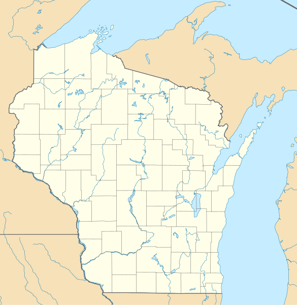
Quadratische Plattkarte, N-S-Streckung 140.0 %. Geographische Begrenzung der Karte:
Equirectangular projection, N/S stretching 140.0 %. Geographic limits of the map:
|
| Datum | |
| Boarne | Eigen wurk |
| Auteur | Alexrk2 |
| Oare ferzjes |
Derivative works of this file: BMO Harris Bank 2012-06.png Derivative works of this file: |

|
This map has been made or improved in the German Kartenwerkstatt (Map Lab). You can propose maps to improve as well.
|
Lisinsje
I, the copyright holder of this work, hereby publish it under the following licenses:

|
Der wurdt tastimming jûn ta kopiearjen, fersprieden en/of wizigjen fan dit dokumint ûnder de betinksten fan de GNU-lisinsje foar iepen dokumintaasje, ferzje 1.2, as eltse lettere ferzje útjûn troch de Free Software Foundation; sûnder Ynfariante Seksjes, sûnder Omkaftteksten foar de Foarkante en sûnder Omkaftteksten foar de Efterkante. In kopy fan de lisinsje is opnaam yn de seksje "Text of the GNU Free Documentation License". |
This file is licensed under the Creative Commons Attribution 3.0 Unported license.
- Fiel jo frij:
- te dielen – it wurk te kopiearjen, fersprieden en út te stjoeren
- te fermingen – it wurk oan te passen
- Under de neikommende betingsten:
- Nammefermelding – You must give appropriate credit, provide a link to the license, and indicate if changes were made. You may do so in any reasonable manner, but not in any way that suggests the licensor endorses you or your use.
You may select the license of your choice.
Triemskiednis
Klik op in datum/tiid om it bestân te besjen sa't it op dat stuit wie.
| Datum/Tiid | Miniatuer | ôfmjittings | Meidogger | Opmerking | |
|---|---|---|---|---|---|
| lêste | 3 jul 2009, 12.10 | | 1.171 × 1.200 (606 KB) | Alexrk2 | == Beschreibung == {{Information |Description= {{de|Positionskarte von Wisconsin, USA}} Quadratische Plattkarte, N-S-Streckung 140.0 %. Geographische Begrenzung der Karte: * N: 47.5° N * S: 42.3° N * W: 93.1° W * O: 86.0° |
Bestânsgebrûk
De neikommende 8 siden brûke dit bestân:
Globaal bestânsgebrûk
De neikommende oare wiki's brûke dit bestân:
- Gebrûk op als.wikipedia.org
- Gebrûk op an.wikipedia.org
- Gebrûk op ar.wikipedia.org
- Gebrûk op azb.wikipedia.org
- مدیسن، ویسکانسین
- هیورد، ویسکانسین
- هودسون، ویسکانسین
- ویوقا، ویسکانسین
- ریور فالز، ویسکانسین
- ایوکلیر، ویسکانسین
- بیور دام، ویسکانسین
- سوپریور، ویسکانسین
- مونتلو، ویسکانسین
- شیبویقان، ویسکانسین
- مینتواک، ویسکانسین
- نینا، ویسکانسین
- لیک میلز، ویسکانسین
- ماسینی، ویسکانسین
- بارابو، ویسکانسین
- اوکانتو، ویسکانسین
- قرین لیک، ویسکانسین
- فاکس لیک، ویسکانسین
- دوجویل، ویسکانسین
- بیفیلد، ویسکانسین
- مدفورد، ویسکانسین
- پشتیقو، ویسکانسین
- سینت کروی فالز، ویسکانسین
- اسپونر، ویسکانسین
- آرکادیا، ویسکانسین
- اوکانتو فالز، ویسکانسین
- دورند، ویسکانسین
- نیاقارا، ویسکانسین
- تو ریورز، ویسکانسین
- تامه، ویسکانسین
- شالزبرق، ویسکانسین
- ریدزبرق، ویسکانسین
- واپاکا، ویسکانسین
- ریپون، ویسکانسین
- لادی، ویسکانسین
- رایلندر، ویسکانسین
- بوسکوبل، ویسکانسین
- پورت واشینقتون، ویسکانسین
- دارلینقتون، ویسکانسین
- تامهاوک، ویسکانسین
- اسپارتا، ویسکانسین
Mear globaal gebrûk fan dit bestân besjen.