Ofbyld:West Bank and Gaza Strip location map.svg

Size of this PNG preview of this SVG file: 520 × 599 piksels. Oare resolúsjes: 208 × 240 piksels | 417 × 480 piksels | 667 × 768 piksels | 889 × 1.024 piksels | 1.778 × 2.048 piksels | 639 × 736 piksels.
Oarspronklik bestân (SVG-bestân, nominaal 639 × 736 pixels, bestânsgrutte: 98 KB)

|
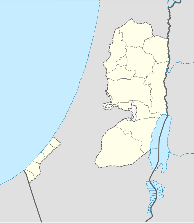
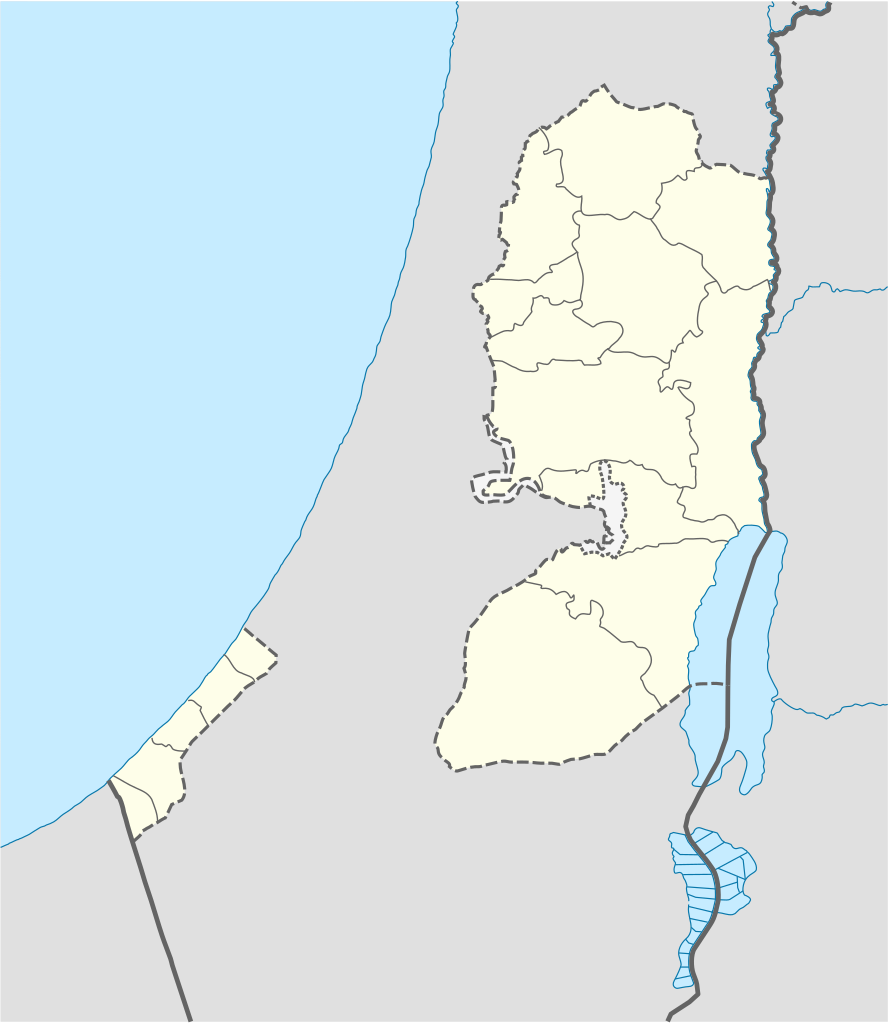
The boundaries on this map show the de facto situation. This is just one of several different views on the subject (see COM:NPOV). |
Gearfetting
| Beskriuwing |
Deutsch: Positionskarte der Palästinensische Autonomiegebiete bzw. von Westjordanland und Gazastreifen
Quadratische Plattkarte, N-S-Streckung 115 %. Geographische Begrenzung der Karte:
Equirectangular projection, N/S stretching 115%. Geographic limits of the map:
|
||
| Datum | |||
| Boarne |
Own work using:
|
||
| Auteur | NordNordWest | ||
| Oare ferzjes |
Derivative works of this file: |
||
| SVG genesis | This W3C-invalid map was created with Adobe Illustrator, and with Inkscape.
|

Lisinsje
I, the copyright holder of this work, hereby publish it under the following licenses:

|
Der wurdt tastimming jûn ta kopiearjen, fersprieden en/of wizigjen fan dit dokumint ûnder de betinksten fan de GNU-lisinsje foar iepen dokumintaasje, ferzje 1.2, as eltse lettere ferzje útjûn troch de Free Software Foundation; sûnder Ynfariante Seksjes, sûnder Omkaftteksten foar de Foarkante en sûnder Omkaftteksten foar de Efterkante. In kopy fan de lisinsje is opnaam yn de seksje "Text of the GNU Free Documentation License". |
This file is licensed under the Creative Commons Attribution-Share Alike 3.0 Unported license.
- Fiel jo frij:
- te dielen – it wurk te kopiearjen, fersprieden en út te stjoeren
- te fermingen – it wurk oan te passen
- Under de neikommende betingsten:
- Nammefermelding – You must give appropriate credit, provide a link to the license, and indicate if changes were made. You may do so in any reasonable manner, but not in any way that suggests the licensor endorses you or your use.
- Lyk diele – If you remix, transform, or build upon the material, you must distribute your contributions under the same or compatible license as the original.
You may select the license of your choice.
Triemskiednis
Klik op in datum/tiid om it bestân te besjen sa't it op dat stuit wie.
| Datum/Tiid | Miniatuer | ôfmjittings | Meidogger | Opmerking | |
|---|---|---|---|---|---|
| lêste | 28 apr 2009, 13.35 | | 639 × 736 (98 KB) | NordNordWest | area of West Bank back to correct position |
| 28 apr 2009, 04.02 |  | 639 × 736 (109 KB) | Fjmustak | 0.85px solid governorate lines (consistent with Israel, Jordan, Lebanon, etc...) | |
| 22 apr 2009, 20.58 |  | 639 × 736 (98 KB) | NordNordWest | corr | |
| 17 apr 2009, 04.02 |  | 638 × 734 (119 KB) | Fjmustak | Added governorate boundaries | |
| 29 nov 2008, 20.30 |  | 638 × 734 (103 KB) | NordNordWest | ||
| 19 nov 2008, 22.05 |  | 638 × 734 (118 KB) | NordNordWest | {{Information |Description= {{de|Positionskarte der Palästinensischen Autonomiegebiete bzw. von Westjordanland und Gazastreifen}} Quadratische Plattkarte, N-S-Streckung 115 %. Geographische Begrenzung der Karte: |
Bestânsgebrûk
De neikommende 4 siden brûke dit bestân:
Globaal bestânsgebrûk
De neikommende oare wiki's brûke dit bestân:
- Gebrûk op af.wikipedia.org
- Gebrûk op als.wikipedia.org
- Gebrûk op an.wikipedia.org
- Gebrûk op ar.wikipedia.org
- Gebrûk op az.wikipedia.org
- Gebrûk op ba.wikipedia.org
- Gebrûk op be-tarask.wikipedia.org
- Gebrûk op be.wikipedia.org
- Gebrûk op bg.wikipedia.org
- Gebrûk op bn.wikipedia.org
- Gebrûk op ce.wikipedia.org
- Gebrûk op ckb.wikipedia.org
- Gebrûk op cs.wikipedia.org
Mear globaal gebrûk fan dit bestân besjen.