Ofbyld:Willemsduin baken.jpg

Grutte fan dit proefbyld: 800 × 560 piksels. Oare resolúsjes: 320 × 224 piksels | 640 × 448 piksels | 1.024 × 717 piksels | 1.196 × 837 piksels.
Oarspronklik bestân (1.196 × 837 pixels, bestânsgrutte: 539 KB, MIME-type: image/jpeg)
Gearfetting
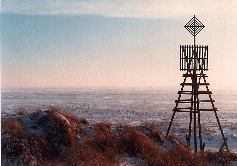
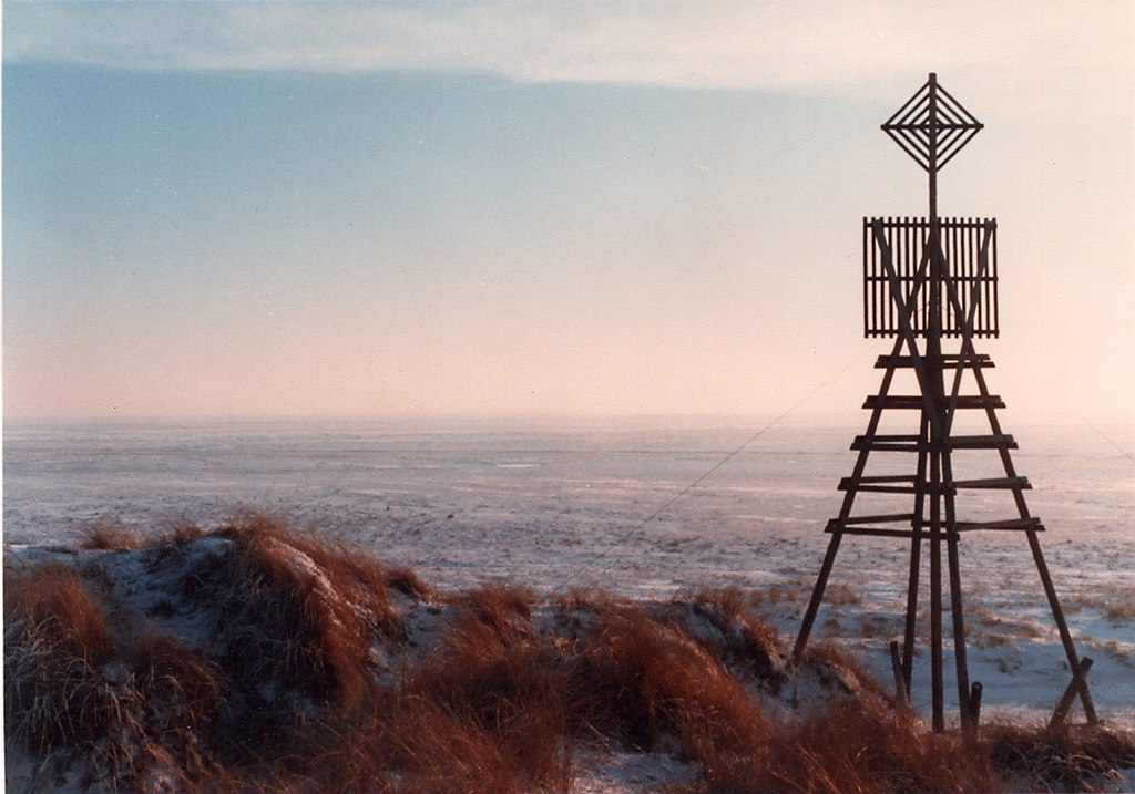
| Beskriuwing | Triangulation beacon on Willemsduin, Schiermonnikoog, The Netherlands |
| Datum | |
| Boarne | Eigen wurk |
| Auteur | Pieter Kuiper |
| Tastimming (Reusing this file) |
PD |
| Camera location | | View this and other nearby images on: OpenStreetMap |
|---|
Lisinsje
| I, the copyright holder of this work, release this work into the public domain. This applies worldwide. In some countries this may not be legally possible; if so: I grant anyone the right to use this work for any purpose, without any conditions, unless such conditions are required by law. |
Triemskiednis
Klik op in datum/tiid om it bestân te besjen sa't it op dat stuit wie.
| Datum/Tiid | Miniatuer | ôfmjittings | Meidogger | Opmerking | |
|---|---|---|---|---|---|
| lêste | 5 jan 2008, 23.01 | | 1.196 × 837 (539 KB) | Pieter Kuiper | {{Information |Description=Triangulation beacon on Willemsduin, Schiermonnikoog, The Netherlands |Source=self-made |Date=January 1982 |Author= Pieter Kuiper |Permission=PD |other_versions= }} Category:Schiermonnikoog |
Bestânsgebrûk
De neikommende 2 siden brûke dit bestân:
Globaal bestânsgebrûk
De neikommende oare wiki's brûke dit bestân:
- Gebrûk op ar.wikipedia.org
- Gebrûk op bg.wikipedia.org
- Gebrûk op cs.wikipedia.org
- Gebrûk op de.wikipedia.org
- Gebrûk op fr.wikipedia.org
- Gebrûk op hy.wikipedia.org
- Gebrûk op it.wikipedia.org
- Gebrûk op ka.wikipedia.org
- Gebrûk op ms.wikipedia.org
- Gebrûk op nl.wikipedia.org
- Gebrûk op pl.wikipedia.org
- Gebrûk op ru.wikipedia.org
- Gebrûk op sv.wikipedia.org
- Gebrûk op uk.wikipedia.org
- Gebrûk op ur.wikipedia.org
- Gebrûk op vi.wikipedia.org
- Gebrûk op xmf.wikipedia.org
- Gebrûk op zh.wikipedia.org