Ofbyld:Italy location map.svg

Size of this PNG preview of this SVG file: 477 × 600 piksels. Oare resolúsjes: 191 × 240 piksels | 382 × 480 piksels | 611 × 768 piksels | 814 × 1.024 piksels | 1.629 × 2.048 piksels | 1.030 × 1.295 piksels.
Oarspronklik bestân (SVG-bestân, nominaal 1.030 × 1.295 pixels, bestânsgrutte: 743 KB)
Gearfetting
| Beskriuwing |
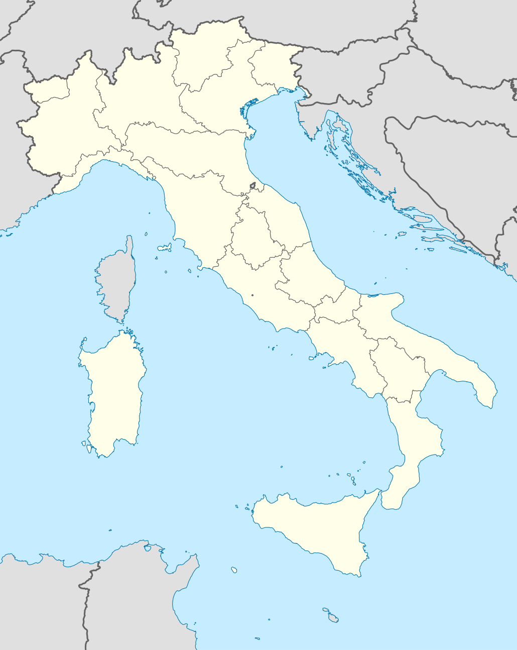
Quadratische Plattkarte, N-S-Streckung 132,898 %. Geographische Begrenzung der Karte:
Equirectangular projection, N/S stretching 132,898 %. Geographic limits of the map:
Proiezione equirettangolare, allargamento N/S 132,898 %. Limiti geografici della mappa:
|
||
| Datum | 06-07-2008 | ||
| Boarne | own work, using United States National Imagery and Mapping Agency data | ||
| Auteur | NordNordWest | ||
| Oare ferzjes |
Derivative works of this file:
|
||
| SVG genesis |
|


.png)
.svg)
Lisinsje
I, the copyright holder of this work, hereby publish it under the following licenses:

|
Der wurdt tastimming jûn ta kopiearjen, fersprieden en/of wizigjen fan dit dokumint ûnder de betinksten fan de GNU-lisinsje foar iepen dokumintaasje, ferzje 1.2, as eltse lettere ferzje útjûn troch de Free Software Foundation; sûnder Ynfariante Seksjes, sûnder Omkaftteksten foar de Foarkante en sûnder Omkaftteksten foar de Efterkante. In kopy fan de lisinsje is opnaam yn de seksje "Text of the GNU Free Documentation License". |
This file is licensed under the Creative Commons Attribution-Share Alike 3.0 Unported license.
- Fiel jo frij:
- te dielen – it wurk te kopiearjen, fersprieden en út te stjoeren
- te fermingen – it wurk oan te passen
- Under de neikommende betingsten:
- Nammefermelding – You must give appropriate credit, provide a link to the license, and indicate if changes were made. You may do so in any reasonable manner, but not in any way that suggests the licensor endorses you or your use.
- Lyk diele – If you remix, transform, or build upon the material, you must distribute your contributions under the same or compatible license as the original.
You may select the license of your choice.
Triemskiednis
Klik op in datum/tiid om it bestân te besjen sa't it op dat stuit wie.
| Datum/Tiid | Miniatuer | ôfmjittings | Meidogger | Opmerking | |
|---|---|---|---|---|---|
| lêste | 19 jun 2021, 10.46 | | 1.030 × 1.295 (743 KB) | NordNordWest | upd Marche/Emilia Romagna |
| 11 sep 2010, 08.42 |  | 1.034 × 1.299 (1,42 MB) | Citypeek | Made one layer of the entire picture. Better for adding new stuff. | |
| 22 aug 2009, 11.58 |  | 1.034 × 1.299 (1,4 MB) | Actormusicus | updating borders after important variation (http://www.gazzettaufficiale.it/guridb/dispatcher?service=1&datagu=2009-08-14&task=dettaglio&numgu=188&redaz=009G0127&tmstp=1250276942469) | |
| 6 mai 2009, 14.38 |  | 1.034 × 1.299 (1.012 KB) | NordNordWest | corr | |
| 12 mrt 2009, 20.27 |  | 1.032 × 1.267 (1.009 KB) | NordNordWest | corr | |
| 6 jul 2008, 18.30 |  | 1.032 × 1.267 (1.010 KB) | NordNordWest | {{Information |Description= {{de|Positionskarte von Italien}} Quadratische Plattkarte, N-S-Streckung 130 %. Geographische Begrenzung der Karte: * N: 47.4° N * S: 35.3° N * W: 6.2° O * O: 19.0° O {{en|Location map of Italy |
Bestânsgebrûk
De neikommende 33 siden brûke dit bestân:
- Autodromo Enzo e Dino Ferrari
- Autodromo Nazionale di Monza
- Autodromo internazionale del Mugello
- Badia (Itaalje)
- Bari (stêd)
- Basilyk fan Us-Leaffrouwe fan 'e Ingels (Assisi)
- Bologna
- Domtsjerke fan Grosseto
- Domtsjerke fan Mantua
- Domtsjerke fan Massa Marittima
- Domtsjerke fan Orvieto
- Domtsjerke fan Parma
- Domtsjerke fan Siena
- Duomo San Rufino
- Hillichdom fan Us-Leaffrouwe fan de Roazekrâns fan Pompei
- Katedraal fan Catania
- Katedraal fan Otranto
- Katedraal fan Torcello
- Katedraal fan Udine
- L'Aquila (stêd)
- Parma
- Ravenna (stêd)
- San Damiano
- San Vitale (Ravenna)
- Santa Maria sopra Minerva
- Sant’Apollinare in Classe
- Triëst
- UEFA Euro 1968
- UEFA Euro 1980
- Udine
- Wrâldkampioenskip fuotbal 1934
- Wrâldkampioenskip fuotbal 1990
- Berjocht:Posysjekaart Itaalje
Globaal bestânsgebrûk
De neikommende oare wiki's brûke dit bestân:
- Gebrûk op ab.wikipedia.org
- Gebrûk op af.wikipedia.org
- Gebrûk op als.wikipedia.org
- Rom
- Palermo
- Mailand
- Pisa
- Alagna Valsesia
- Florenz
- Parma
- Neapel
- Issime
- Rimella
- Formazza
- Macugnaga
- Rima San Giuseppe
- Alatri
- Ancona
- Lucera
- Vorlage:Positionskarte Italien
- Ravenna
- Genua
- Carcoforo
- Gaby (Aostatal)
- Predore
- Benutzer:Holder/Test Italien
- Syrakus
- Siligo
- Bari
- Venedig
- Salerno
- Orvieto
- Bolsena
- Bologna
- Tarquinia
- Allein (Aostatal)
- Antey-Saint-André
- Aosta
Mear globaal gebrûk fan dit bestân besjen.