Ofbyld:Annadales Historical Map.png
Gjin hegere resolúsje beskikber.
Annadales_Historical_Map.png (368 × 456 pixels, bestânsgrutte: 16 KB, MIME-type: image/png)
Gearfetting
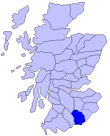
| Beskriuwing | Map of Annadales Historical Location |
| Datum | |
| Boarne | Using Paint.net |
| Auteur | Comradcaer |
Lisinsje
| This file is made available under the Creative Commons CC0 1.0 Universal Public Domain Dedication. | |
| The person who associated a work with this deed has dedicated the work to the public domain by waiving all of their rights to the work worldwide under copyright law, including all related and neighboring rights, to the extent allowed by law. You can copy, modify, distribute and perform the work, even for commercial purposes, all without asking permission.
|
Original upload log
The original description page was here. All following user names refer to en.wikipedia.
| Datum/Tiid | Ofmjittings | Meidogger | Opmerking |
|---|---|---|---|
| 2014-10-28 00:44:38 | 368× 456× | Comradcaer | Uploading a self-made file using [[Wikipedia:File_Upload_Wizard|File Upload Wizard]] |
Triemskiednis
Klik op in datum/tiid om it bestân te besjen sa't it op dat stuit wie.
| Datum/Tiid | Miniatuer | ôfmjittings | Meidogger | Opmerking | |
|---|---|---|---|---|---|
| lêste | 27 des 2016, 10.55 | | 368 × 456 (16 KB) | FastilyClone | Transferred from en.wikipedia (MTC!) |
Bestânsgebrûk
It neikommendbestân is identyk oan dit bestân (mear bysûnderheden):
Der binne gjin siden dy't dit bestân brûke.
Globaal bestânsgebrûk
De neikommende oare wiki's brûke dit bestân:
- Gebrûk op en.wikipedia.org
- Gebrûk op es.wikipedia.org
- Gebrûk op ga.wikipedia.org
- Gebrûk op it.wikipedia.org
- Gebrûk op pt.wikipedia.org
- Gebrûk op uk.wikipedia.org
- Gebrûk op www.wikidata.org