Ofbyld:France location map-Regions-2016.svg

Size of this PNG preview of this SVG file: 624 × 600 piksels. Oare resolúsjes: 250 × 240 piksels | 499 × 480 piksels | 799 × 768 piksels | 1.066 × 1.024 piksels | 2.131 × 2.048 piksels | 2.000 × 1.922 piksels.
Oarspronklik bestân (SVG-bestân, nominaal 2.000 × 1.922 pixels, bestânsgrutte: 230 KB)
Gearfetting
| Beskriuwing |
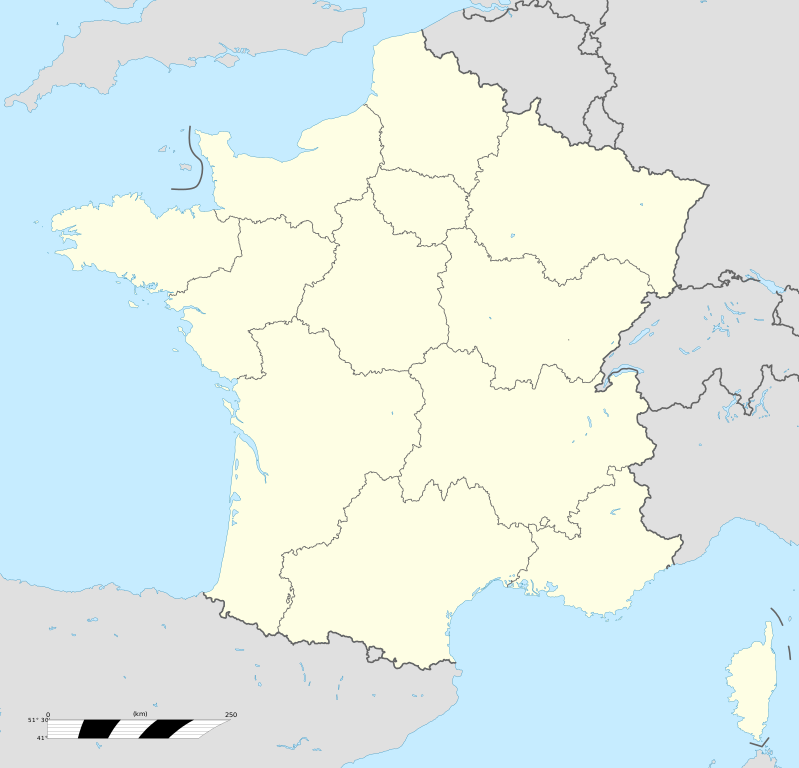
Français : Carte administrative vierge de la France destinée à la géolocalisation, avec régions.
Échelle approximative : 1:3 000 000
English: Blank administrative map of France for geo-location purpose, with regions.
Approximate scale : 1:3,000,000
Projection équirectangulaire, données WGS84
Limites géographiques de la carte :
|
| Datum | |
| Boarne |
This file was derived from: France location map-Regions-2015.svg |
| Auteur | Superbenjamin |
| SVG genesis |
Lisinsje
I, the copyright holder of this work, hereby publish it under the following license:
This file is licensed under the Creative Commons Attribution-Share Alike 4.0 International license.
- Fiel jo frij:
- te dielen – it wurk te kopiearjen, fersprieden en út te stjoeren
- te fermingen – it wurk oan te passen
- Under de neikommende betingsten:
- Nammefermelding – You must give appropriate credit, provide a link to the license, and indicate if changes were made. You may do so in any reasonable manner, but not in any way that suggests the licensor endorses you or your use.
- Lyk diele – If you remix, transform, or build upon the material, you must distribute your contributions under the same or compatible license as the original.
Triemskiednis
Klik op in datum/tiid om it bestân te besjen sa't it op dat stuit wie.
| Datum/Tiid | Miniatuer | ôfmjittings | Meidogger | Opmerking | |
|---|---|---|---|---|---|
| lêste | 1 des 2021, 01.30 | | 2.000 × 1.922 (230 KB) | Puck04 | fixed SVG code (was "W3C-invalid") + cleanup using text editor |
| 19 okt 2017, 15.48 |  | 2.000 × 1.922 (280 KB) | Sting | No borders over the Lake of Constance | |
| 2 jan 2016, 11.11 |  | 2.000 × 1.922 (274 KB) | Superbenjamin | User created page with UploadWizard |
Bestânsgebrûk
Der binne gjin siden dy't dit bestân brûke.
Globaal bestânsgebrûk
De neikommende oare wiki's brûke dit bestân:
- Gebrûk op de.wikipedia.org
- Gebrûk op el.wikipedia.org
- Gebrûk op en.wikipedia.org
- Gebrûk op fr.wikipedia.org
- Catégorie:Économie en France par région
- Championnat de France de rugby à XV
- Championnat de France féminin de football
- Catégorie:Sport en France
- Catégorie:Club sportif en France
- Zénith (salle de spectacle)
- Catégorie:Club de handball en France
- Catégorie:Politique en France par région
- Saint-Lambert-du-Lattay
- Catégorie:Géographie de la France par région
- Catégorie:Personnalité liée à une région en France
- Catégorie:Sport en Guadeloupe
- Catégorie:Sport en Guyane
- Catégorie:Histoire de France par région
- Catégorie:Sport en Martinique
- Catégorie:Club sportif en Guyane
- Catégorie:Club sportif en Martinique
- Catégorie:Personnalité politique liée à une région en France
- Catégorie:Sport en Île-de-France
- Catégorie:Sport en Corse
- Catégorie:Entreprise ayant son siège en France par région
- Catégorie:Sport en région Occitanie
- Catégorie:Sport dans le Grand Est
- Catégorie:Sport en Bourgogne-Franche-Comté
- Catégorie:Sport en Nouvelle-Aquitaine
- Catégorie:Sport en Provence-Alpes-Côte d'Azur
- Catégorie:Sport en Bretagne
- Championnat de France féminin de football de deuxième division
- Catégorie:Sport à Mayotte
- Catégorie:Conseiller régional par région
- Catégorie:Média en France par région
- Championnat de France de football
- Catégorie:Club de rugby à XV en France par région
- Alinéa (enseigne)
- Catégorie:Commune en France par région
- Catégorie:Club de futsal en France
- Catégorie:Bière française par région
- Catégorie:Sport à La Réunion
- Catégorie:Naissance en France par région
- Utilisateur:Wikisoft*/Cartes
Mear globaal gebrûk fan dit bestân besjen.