Ofbyld:Iraq location map.svg

Size of this PNG preview of this SVG file: 589 × 600 piksels. Oare resolúsjes: 236 × 240 piksels | 471 × 480 piksels | 754 × 768 piksels | 1.005 × 1.024 piksels | 2.011 × 2.048 piksels | 1.241 × 1.264 piksels.
Oarspronklik bestân (SVG-bestân, nominaal 1.241 × 1.264 pixels, bestânsgrutte: 232 KB)
Gearfetting
| Beskriuwing |
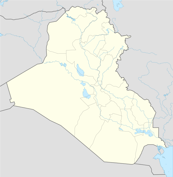
Deutsch: Positionskarte von Irak
Quadratische Plattkarte, N-S-Streckung 115 %. Geographische Begrenzung der Karte:
English: Location map of Iraq
Equirectangular projection, N/S stretching 115 %. Geographic limits of the map:
|
| Datum | |
| Boarne |
Own work using:
|
| Auteur | NordNordWest |
| Oare ferzjes |
Derivative works of this file: |

|
This map has been made or improved in the German Kartenwerkstatt (Map Lab). You can propose maps to improve as well.
|
Lisinsje
I, the copyright holder of this work, hereby publish it under the following licenses:

|
Der wurdt tastimming jûn ta kopiearjen, fersprieden en/of wizigjen fan dit dokumint ûnder de betinksten fan de GNU-lisinsje foar iepen dokumintaasje, ferzje 1.2, as eltse lettere ferzje útjûn troch de Free Software Foundation; sûnder Ynfariante Seksjes, sûnder Omkaftteksten foar de Foarkante en sûnder Omkaftteksten foar de Efterkante. In kopy fan de lisinsje is opnaam yn de seksje "Text of the GNU Free Documentation License". |
This file is licensed under the Creative Commons Attribution-Share Alike 3.0 Unported license.
- Fiel jo frij:
- te dielen – it wurk te kopiearjen, fersprieden en út te stjoeren
- te fermingen – it wurk oan te passen
- Under de neikommende betingsten:
- Nammefermelding – You must give appropriate credit, provide a link to the license, and indicate if changes were made. You may do so in any reasonable manner, but not in any way that suggests the licensor endorses you or your use.
- Lyk diele – If you remix, transform, or build upon the material, you must distribute your contributions under the same or compatible license as the original.
You may select the license of your choice.
Triemskiednis
Klik op in datum/tiid om it bestân te besjen sa't it op dat stuit wie.
| Datum/Tiid | Miniatuer | ôfmjittings | Meidogger | Opmerking | |
|---|---|---|---|---|---|
| lêste | 8 nov 2017, 16.01 | | 1.241 × 1.264 (232 KB) | Rob984 | reduced intensity of rivers in line with location scheme |
| 17 jun 2014, 20.54 |  | 1.241 × 1.264 (377 KB) | Spesh531 | without Halabja, status disputed | |
| 14 jun 2014, 05.13 |  | 1.241 × 1.264 (377 KB) | Spesh531 | adding many rivers (that are at least shown on an average Iraqi map) | |
| 13 jun 2014, 03.09 |  | 1.241 × 1.264 (312 KB) | Spesh531 | additional lakes, and adding halabja | |
| 13 jun 2014, 01.13 |  | 1.241 × 1.264 (313 KB) | Spesh531 | lakes | |
| 21 aug 2008, 22.36 |  | 1.241 × 1.264 (316 KB) | NordNordWest | {{Information |Description= {{de|Positionskarte von Irak}} Quadratische Plattkarte, N-S-Streckung 115 %. Geographische Begrenzung der Karte: * N: 37.7° N * S: 28.4° N * W: 38.4° O * O: 48.9° O {{en|Location map of Iraq}} Equi |
Bestânsgebrûk
De neikommende side brûkt dit bestân:
Globaal bestânsgebrûk
De neikommende oare wiki's brûke dit bestân:
- Gebrûk op af.wikipedia.org
- Gebrûk op als.wikipedia.org
- Gebrûk op ar.wikipedia.org
- العراق
- عبد الملك بن مروان
- أور
- إيسن
- إريدو
- كأس الخليج العربي 5
- دوري نجوم العراق
- الوركاء
- دير الربان هرمزد
- دير مار إيليا
- قائمة جامعات العراق
- أبو صلابيخ
- بحيرة ساوة
- عصر جمدة نصر
- سيبار
- دير مار متي
- قالب:خريطة مواقع العراق
- دير مار أوراها
- دير مار بهنام
- دير ناقورتايا
- قائمة سدود العراق
- كرسو
- شوروباك
- توتوب
- فترة أوروك
- تل عقير
- قاعدة القيارة الجوية
- قائمة مواقع التراث العالمي في العراق
- نفر
- قالب:خريطة مواقع الأندية العراقية
- وحدة:Location map/data/Iraq
- وحدة:Location map/data/Iraq/شرح
- قالب:المنشآت الجامعية في العراق
- قالب:خريطة مفصلة للتمرد العراقي
- قالب:خريطة مواقع التراث العالمي في العراق
- قالب:خريطة أهوار العراق
- مواجهات مطار سفوان
- تفجيرات بغداد (كانون الثاني 2017)
- بطولة اتحاد غرب آسيا لكرة القدم 2019
- هجوم صاروخي 2018 كردستان العراق
- اعتقال أمريكا لدبلوماسيين إيرانيين في أربيل
- تدافع كربلاء 2019
Mear globaal gebrûk fan dit bestân besjen.