Ofbyld:Map of Cresson, Cambria County, Pennsylvania Highlighted.png
Oarspronklik bestân (1.952 × 1.680 pixels, bestânsgrutte: 64 KB, MIME-type: image/png)
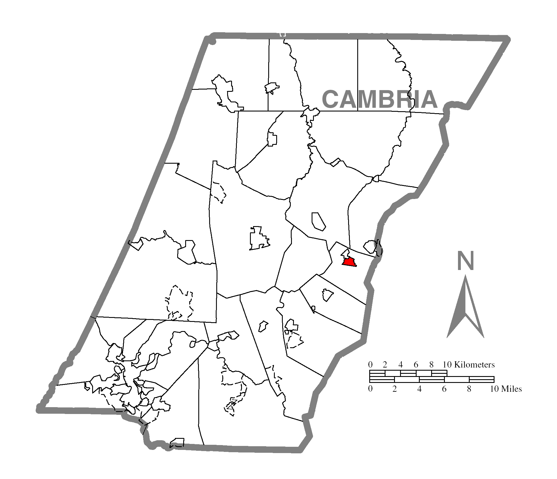
| Beskriuwing | A map of Cambria County showing Cresson, Pennsylvania (alternate) highlighted on the map. | |||
| Datum | ||||
| Boarne | Source image taken from the United States Census Bureau's website pa_cosub.pdf. Image was modified by Ram-Man. | |||
| Auteur | (c)2006 Derek Ramsey (Ram-Man) (from U.S. Census Bureau source) | |||
| Tastimming (Reusing this file) |
A United States Census Bureau / Government work is in the public domain, however, my modifications are licensed as follows: You may NOT use this image on your own web site or anywhere else unless you release this image and any derivative works (e.g. your web site) by following the terms of one of the following licenses. Any other use will be considered a breach of copyright and I reserve the right of legal action. If you have not read the terms of these licenses or do not understand them, then do not use this image. I, the copyright holder of this work, hereby publish it under the following licenses:
This file is licensed under the Creative Commons Attribution-Share Alike 2.5 Generic, 2.0 Generic and 1.0 Generic license.
You may select the license of your choice. |
|||
| Oare ferzjes |
Image:Map of Cambria County, Pennsylvania.png - Source map before highlighting (with text). Image:Map of Cambria County, Pennsylvania No Text.png - Source map before highlighting (without text). |

Triemskiednis
Klik op in datum/tiid om it bestân te besjen sa't it op dat stuit wie.
| Datum/Tiid | Miniatuer | ôfmjittings | Meidogger | Opmerking | |
|---|---|---|---|---|---|
| lêste | 19 okt 2006, 05.25 | | 1.952 × 1.680 (64 KB) | Ram-Man | {{Information| |Description={{PennMapDesc|Cambria|Cresson}} |Source=Source image taken from the United States Census Bureau's website [http://www2.census.gov/geo/maps/general_ref/cousub_outline/cen2k_pgsz/pa_cosub.pdf pa_cosub.pdf]. Image was modified by |
Bestânsgebrûk
De neikommende side brûkt dit bestân:
Globaal bestânsgebrûk
De neikommende oare wiki's brûke dit bestân:
- Gebrûk op vi.wikipedia.org