Ofbyld:POL Tatry.svg

Size of this PNG preview of this SVG file: 800 × 396 piksels. Oare resolúsjes: 320 × 158 piksels | 640 × 316 piksels | 1.024 × 506 piksels | 1.280 × 633 piksels | 2.560 × 1.266 piksels | 811 × 401 piksels.
Oarspronklik bestân (SVG-bestân, nominaal 811 × 401 pixels, bestânsgrutte: 5,36 MB)
| Beskriuwing |
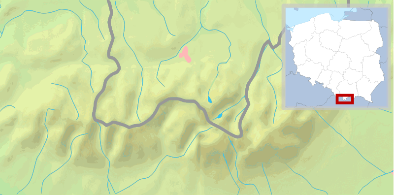
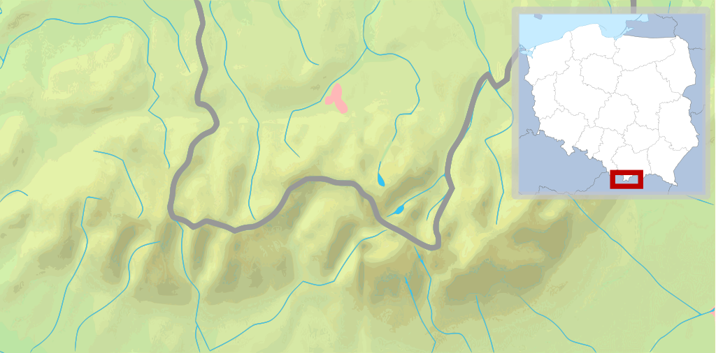
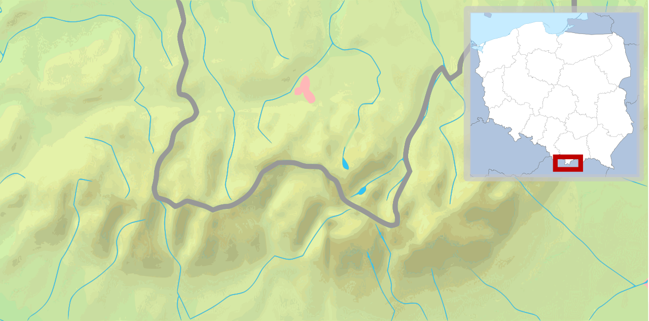
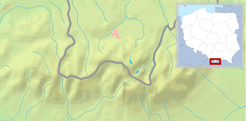
English: Map of the Tatra Mountains Polski: Mapa Tatr |
||
| Datum | (UTC) | ||
| Boarne | |||
| Auteur |
|
||
| Oare ferzjes |
|
||
| SVG genesis |
|


This file is licensed under the Creative Commons Attribution-Share Alike 3.0 Unported license.
- Fiel jo frij:
- te dielen – it wurk te kopiearjen, fersprieden en út te stjoeren
- te fermingen – it wurk oan te passen
- Under de neikommende betingsten:
- Nammefermelding – You must give appropriate credit, provide a link to the license, and indicate if changes were made. You may do so in any reasonable manner, but not in any way that suggests the licensor endorses you or your use.
- Lyk diele – If you remix, transform, or build upon the material, you must distribute your contributions under the same or compatible license as the original.
Original upload log
This image is a derivative work of the following images:
- File:Tatry mapa 2.png licensed with PD-Demis
- 2008-09-02T21:41:25Z ToSter 811x401 (305387 Bytes) {{Information |Description={{en|1=Map of the Tatra Mountains}} {{pl|1=Mapa Tatr}} |Source=PD map from Demis - modified version of [[:Image:Tatry mapa.png]] by [[User:Botev]] |Author=[[User:ToSter|ToSter]] |Date=Sep 2nd, 2008
- File:Poland location map white.svg licensed with Cc-by-sa-3.0, Cc-by-sa-3.0/en
- 2009-01-29T00:51:50Z Mareklug 862x838 (358904 Bytes) {{Information |Description={{de| Positionskarte von Polen auf weissem Hintergrund. Quadratische Plattkarte, N-S-Streckung 160 %. Geographische Begrenzung der Karte: * N: 55.2° N * S: 48.7° N * W: 13.8° O * O: 24.5° O {{en
Uploaded with derivativeFX
Triemskiednis
Klik op in datum/tiid om it bestân te besjen sa't it op dat stuit wie.
| Datum/Tiid | Miniatuer | ôfmjittings | Meidogger | Opmerking | |
|---|---|---|---|---|---|
| lêste | 11 feb 2009, 12.30 | | 811 × 401 (5,36 MB) | Mareklug | pozycjonowanie w górnym rogu na życzenie, ramka (subtelna, półprzezroczysta) / positioning in upper corner on request, border (a suttle, semi-transparent one) |
| 11 feb 2009, 05.19 |  | 811 × 401 (5,36 MB) | Mareklug | repositioned the POL white map miniature to the lower right corner, because it was occluding some of Poland. Now both Tatry maps that are national variants use that corner (SVK Tatry.svg & POL Tatry.svg) | |
| 10 feb 2009, 15.32 |  | 811 × 401 (5,19 MB) | Mareklug | {{Information |Description={{en|1=Map of the Tatra Mountains}} {{pl|1=Mapa Tatr}} |Source=*File:Tatry_mapa_2.png *File:Poland_location_map_white.svg |Date=2009-02-10 13:28 (UTC) |Author=*File:Tatry_mapa_2.png: ToSter |Dat |
Bestânsgebrûk
De neikommende side brûkt dit bestân:
Globaal bestânsgebrûk
De neikommende oare wiki's brûke dit bestân:
- Gebrûk op de.wikivoyage.org
- Gebrûk op en.wikipedia.org
- Gebrûk op ko.wikipedia.org
- Gebrûk op pl.wikipedia.org
- Giewont
- Rysy
- Tatry
- Starorobociański Wierch
- Kozi Wierch
- Liliowe (przełęcz)
- Świnica
- Granaty
- Morskie Oko
- Czarny Staw Gąsienicowy
- Wodogrzmoty Mickiewicza
- Mnich (Tatry)
- Żabi Mnich
- Zadni Mnich
- Niżnie Rysy
- Żabi Szczyt Wyżni
- Żabi Szczyt Niżni
- Żabi Koń
- Mięguszowiecka Przełęcz pod Chłopkiem
- Kazalnica Mięguszowiecka
- Cubryna
- Wrota Chałubińskiego
- Szpiglasowa Przełęcz
- Szpiglasowy Wierch
- Miedziane (Tatry)
- Opalony Wierch
- Gładki Wierch
- Gładka Przełęcz
- Kasprowy Wierch
- Walentkowy Wierch
- Zawrat
- Mały Kozi Wierch
- Zmarzła Przełęcz
- Zamarła Turnia
- Kozia Przełęcz
- Kozie Czuby
- Czarne Ściany
- Orla Baszta
- Buczynowe Czuby
- Krzyżne
- Żółta Turnia
- Roztocka Czuba
- Wierch pod Fajki
- Czarny Staw pod Rysami
- Wielki Staw Polski
- Zadni Staw Polski
- Wole Oko
Mear globaal gebrûk fan dit bestân besjen.