Ofbyld:Qatar location map.svg

Size of this PNG preview of this SVG file: 631 × 599 piksels. Oare resolúsjes: 253 × 240 piksels | 505 × 480 piksels | 808 × 768 piksels | 1.078 × 1.024 piksels | 2.156 × 2.048 piksels | 1.039 × 987 piksels.
Oarspronklik bestân (SVG-bestân, nominaal 1.039 × 987 pixels, bestânsgrutte: 60 KB)
Gearfetting
| Beskriuwing |
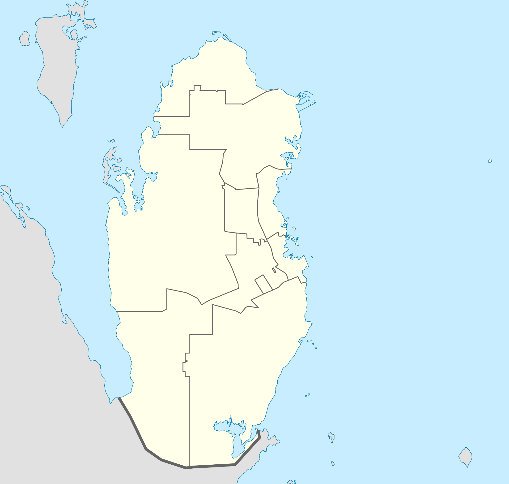
Deutsch: Positionskarte von Katar
Quadratische Plattkarte, N-S-Streckung 110 %. Geographische Begrenzung der Karte:
English: Location map of Qatar
Equirectangular projection, N/S stretching 110 %. Geographic limits of the map:
|
| Datum | |
| Boarne |
own work, using
|
| Auteur | NordNordWest |

|
This map has been made or improved in the German Kartenwerkstatt (Map Lab). You can propose maps to improve as well.
|
Lisinsje
I, the copyright holder of this work, hereby publish it under the following licenses:

|
Der wurdt tastimming jûn ta kopiearjen, fersprieden en/of wizigjen fan dit dokumint ûnder de betinksten fan de GNU-lisinsje foar iepen dokumintaasje, ferzje 1.2, as eltse lettere ferzje útjûn troch de Free Software Foundation; sûnder Ynfariante Seksjes, sûnder Omkaftteksten foar de Foarkante en sûnder Omkaftteksten foar de Efterkante. In kopy fan de lisinsje is opnaam yn de seksje "Text of the GNU Free Documentation License". |
This file is licensed under the Creative Commons Attribution-Share Alike 3.0 Unported license.
- Fiel jo frij:
- te dielen – it wurk te kopiearjen, fersprieden en út te stjoeren
- te fermingen – it wurk oan te passen
- Under de neikommende betingsten:
- Nammefermelding – You must give appropriate credit, provide a link to the license, and indicate if changes were made. You may do so in any reasonable manner, but not in any way that suggests the licensor endorses you or your use.
- Lyk diele – If you remix, transform, or build upon the material, you must distribute your contributions under the same or compatible license as the original.
You may select the license of your choice.
Triemskiednis
Klik op in datum/tiid om it bestân te besjen sa't it op dat stuit wie.
| Datum/Tiid | Miniatuer | ôfmjittings | Meidogger | Opmerking | |
|---|---|---|---|---|---|
| lêste | 25 mai 2022, 01.02 | | 1.039 × 987 (60 KB) | Spesh531 | updating internal borders and Qatar-Saudi Arabia border |
| 9 jan 2011, 23.11 |  | 1.039 × 987 (50 KB) | NordNordWest | upd | |
| 19 des 2009, 19.31 |  | 1.039 × 988 (77 KB) | NordNordWest | update | |
| 24 aug 2008, 23.22 |  | 1.039 × 988 (73 KB) | NordNordWest | {{Information |Description= {{de|Positionskarte von Katar}} Quadratische Plattkarte, N-S-Streckung 110 %. Geographische Begrenzung der Karte: * N: 26.3° N * S: 24.4° N * W: 50.3° O * O: 52.5° O {{en|Location map of Qatar}} |
Bestânsgebrûk
De neikommende 3 siden brûke dit bestân:
Globaal bestânsgebrûk
De neikommende oare wiki's brûke dit bestân:
- Gebrûk op af.wikipedia.org
- Gebrûk op ar.wikipedia.org
- كأس الخليج العربي 4
- كأس العالم 2022
- كأس آسيا 2011
- قالب:خريطة مواقع قطر
- بطولة العالم لكرة اليد للرجال 2015
- بطولة آسيا تحت 23 سنة لكرة القدم 2016
- كأس الخليج للمنتخبات الأولمبية 2010
- محطة رأس لفان للطاقة
- بطولة الأندية العربية لأبطال الدوري 2001
- كأس القارات لكرة الصالات 2016
- دوري نجوم قطر 2009–10
- دوري نجوم قطر 2010–11
- دوري نجوم قطر 2011–12
- دوري نجوم قطر 2013–14
- دوري نجوم قطر 2014–15
- دوري نجوم قطر 2015–16
- كأس الخليج العربي 24
- كأس العالم للأندية 2019
- كأس العالم للأندية 2020
- كأس العرب 2021
- تصفيات كأس العرب 2021
- كأس سوبر لوسيل 2022
- كأس آسيا تحت 23 سنة 2024
- ملاعب كأس العالم 2022
- Gebrûk op ast.wikipedia.org
- Gebrûk op ba.wikipedia.org
- Gebrûk op be-tarask.wikipedia.org
- Gebrûk op be.wikipedia.org
- Gebrûk op bg.wikipedia.org
- Gebrûk op bn.wikipedia.org
- Gebrûk op bs.wikipedia.org
Mear globaal gebrûk fan dit bestân besjen.