Ofbyld:Tatry mapa 2.png
Grutte fan dit proefbyld: 800 × 396 piksels. Oare resolúsjes: 320 × 158 piksels | 811 × 401 piksels.
Oarspronklik bestân (811 × 401 pixels, bestânsgrutte: 298 KB, MIME-type: image/png)
| Beskriuwing |
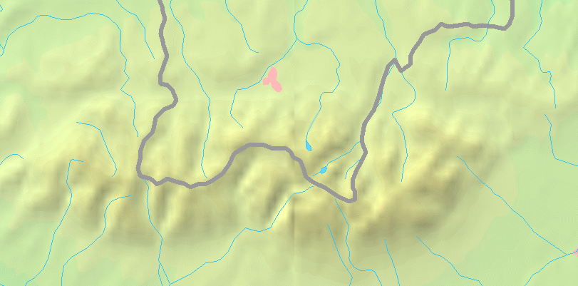
English: Map of the Tatra Mountains
Polski: Mapa Tatr |
||||
| Datum | |||||
| Boarne | PD map from Demis - modified version of Image:Tatry mapa.png by User:Botev | ||||
| Auteur | ToSter | ||||
| Tastimming (Reusing this file) |
|
||||
| Oare ferzjes |
Derivative works of this file: POL Tatry.svgImage:Tatry mapa.png
File:POL Tatry.svg:  |


Triemskiednis
Klik op in datum/tiid om it bestân te besjen sa't it op dat stuit wie.
| Datum/Tiid | Miniatuer | ôfmjittings | Meidogger | Opmerking | |
|---|---|---|---|---|---|
| lêste | 2 sep 2008, 23.41 | | 811 × 401 (298 KB) | ToSter | {{Information |Description={{en|1=Map of the Tatra Mountains}} {{pl|1=Mapa Tatr}} |Source=PD map from Demis - modified version of Image:Tatry mapa.png by User:Botev |Author=ToSter |Date=Sep 2nd, 2008 |Permission={{PD-Demis}} |othe |
Bestânsgebrûk
Der binne gjin siden dy't dit bestân brûke.
Globaal bestânsgebrûk
De neikommende oare wiki's brûke dit bestân:
- Gebrûk op cs.wikipedia.org
- Gebrûk op pl.wikipedia.org
- Dolina Pięciu Stawów Polskich
- Dolina za Mnichem
- Dolina Suchej Wody Gąsienicowej
- Dolina Białki
- Dolina Waksmundzka
- Dolina Roztoki
- Dolina Małej Łąki
- Dolina Kieżmarska
- Dolina Jastrzębia
- Dolina Kościeliska
- Łysa Polana
- Wąwóz Kraków
- Dolina Jarząbcza
- Dolina Bystrej
- Jaworzynka (dolina)
- Dolina Kondratowa
- Żleb pod Wysranki
- Krzyż na Giewoncie
- Kamień Karłowicza
- Wysokogórskie Obserwatorium Meteorologiczne IMGW-PIB na Kasprowym Wierchu
- Bobrowiecki Żleb
- Hotarz
- Hala Jarząbcza
- Dyskusja wikipedysty:ŁukaszWu/archiwum 2
- Jaworowy Potok
- Koperszadzki Potok
- Mała Zimna Woda
- Koprowa Woda
- Ciemnosmreczyński Potok
- Kołowy Potok
- Czarny Potok Jaworowy
- Bystra (dopływ Białej Liptowskiej)
- Potok spod Kopy
- Jaszczerzycki Potok
- Mała Huczawa
- Potok Stos
- Juraniowy Potok
- Głęboki Potok (dopływ Łomnicy)
- Dyskusja wikipedysty:Mareklug/Archiwum 4
- Bobrowiecki Potok (dopływ Orawicy)
- Dzikie Siklawy
- Polana Głodówka
- Niewcyrskie Siklawy
- Reglany Potok
- Czerwony Potok (dopływ Białki)
- Litworowa Woda
- Strzystarski Potok
- Międzyścienny Potok (dopływ Jaworowego Potoku)
- Średnica (dopływ Bielskiego Potoku)
Mear globaal gebrûk fan dit bestân besjen.