Ofbyld:ToyamaMapCurrent.png
Grutte fan dit proefbyld: 800 × 500 piksels. Oare resolúsjes: 320 × 200 piksels | 640 × 400 piksels | 1.024 × 640 piksels | 1.281 × 801 piksels.
Oarspronklik bestân (1.281 × 801 pixels, bestânsgrutte: 37 KB, MIME-type: image/png)
Gearfetting
| Beskriuwing |
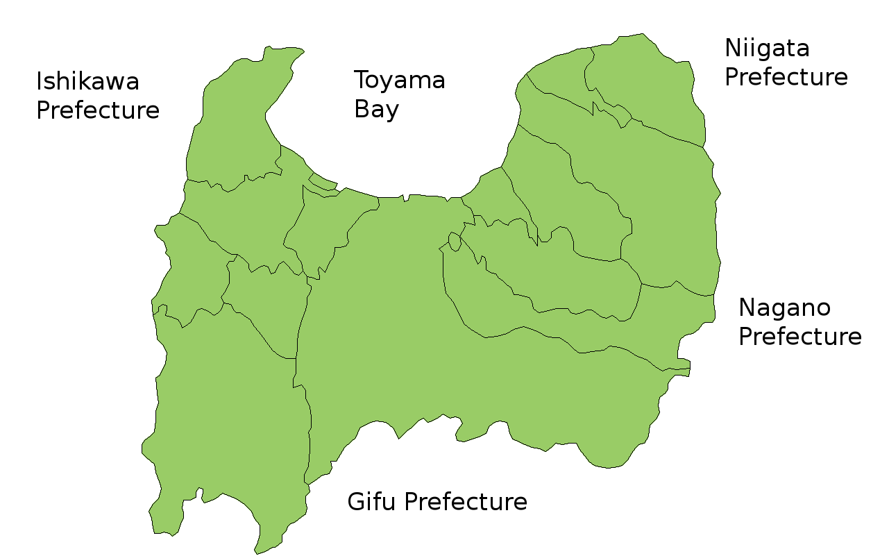
Map of Toyama Prefecture, Japan. Thanks to Aoki Shigenobu and [1]. Colors from Image:TokyoMapCurrent.png by User:Fg2. |
| Datum | 19 july 2006 (original upload date) |
| Boarne | Geen machineleesbare bron opgegeven. Eigen werk aangenomen (gebaseerd op auteursrechtclaims). |
| Auteur | Geen machineleesbare auteur aanwezig. Op basis van auteursrechtclaims wordt auteur Akanemoto~commonswiki aangenomen. |
Lisinsje
| I, the copyright holder of this work, release this work into the public domain. This applies worldwide. In some countries this may not be legally possible; if so: I grant anyone the right to use this work for any purpose, without any conditions, unless such conditions are required by law. |
Triemskiednis
Klik op in datum/tiid om it bestân te besjen sa't it op dat stuit wie.
| Datum/Tiid | Miniatuer | ôfmjittings | Meidogger | Opmerking | |
|---|---|---|---|---|---|
| lêste | 19 jul 2006, 19.42 | | 1.281 × 801 (37 KB) | Akanemoto~commonswiki | Map of Toyama Prefecture, Japan. Thanks to Aoki Shigenobu and [http://aoki2.si.gunma-u.ac.jp/map/map.html]. Colors from Image:TokyoMapCurrent.png by User:Fg2. Category:Maps of Toyama prefecture Category:Maps in English |
Bestânsgebrûk
Der binne gjin siden dy't dit bestân brûke.
Globaal bestânsgebrûk
De neikommende oare wiki's brûke dit bestân:
- Gebrûk op az.wikipedia.org
- Gebrûk op ckb.wikipedia.org
- Gebrûk op cs.wikipedia.org
- Gebrûk op fi.wikipedia.org
- Gebrûk op hu.wikipedia.org
- Gebrûk op ilo.wikipedia.org
- Gebrûk op lt.wikipedia.org
- Gebrûk op ms.wikipedia.org
- Gebrûk op no.wikipedia.org
- Gebrûk op pt.wikipedia.org
- Gebrûk op ru.wikipedia.org
- Gebrûk op simple.wikipedia.org
- Gebrûk op su.wikipedia.org
- Gebrûk op vi.wikipedia.org