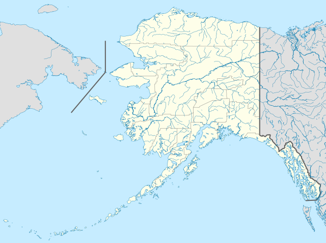
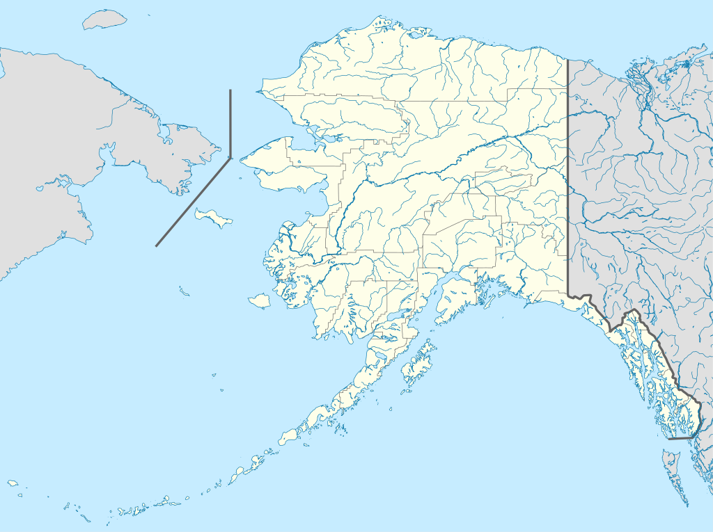
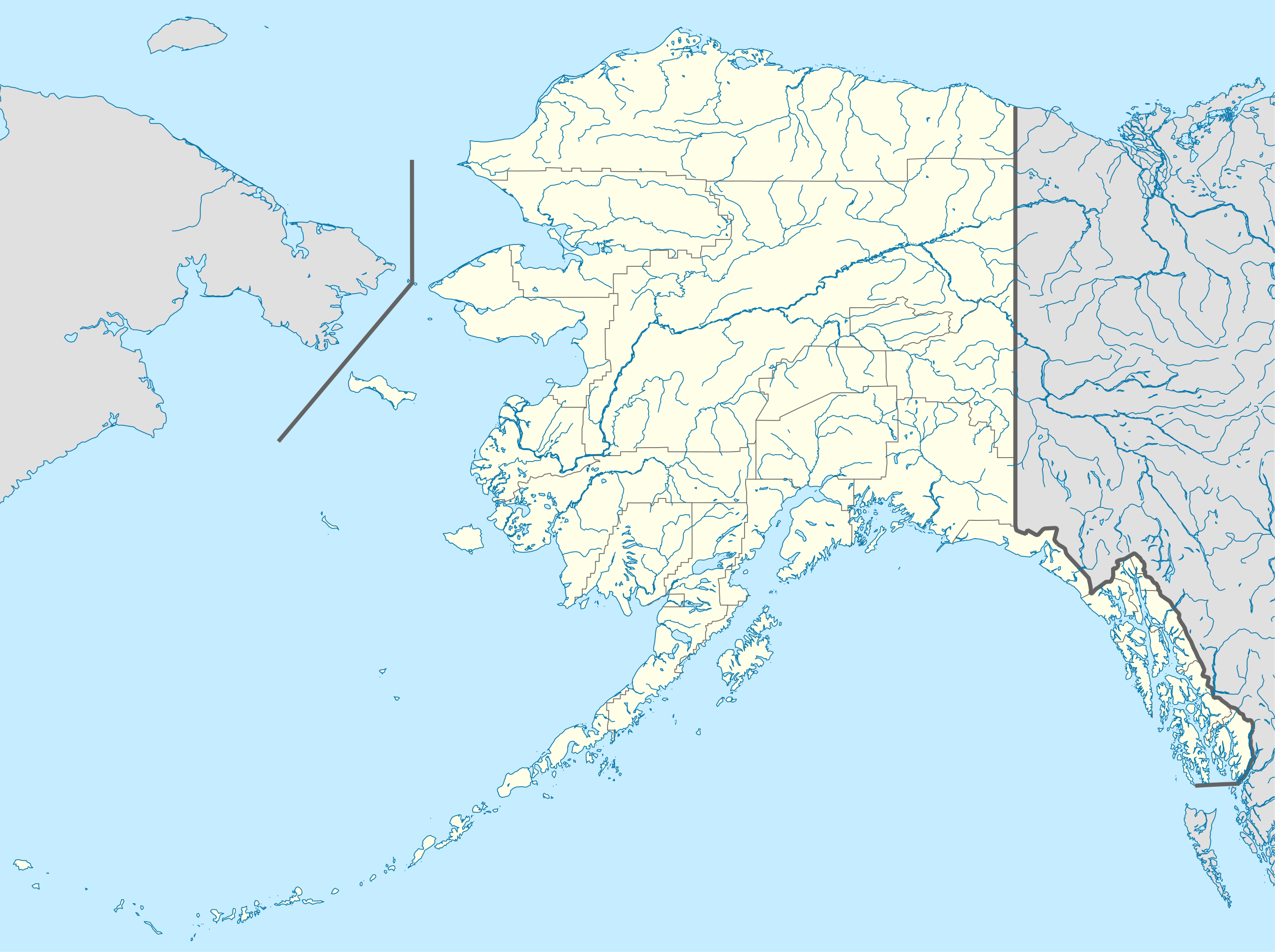
Ofbyld:USA Alaska location map.svg

Size of this PNG preview of this SVG file: 800 × 598 piksels. Oare resolúsjes: 320 × 239 piksels | 640 × 478 piksels | 1.024 × 765 piksels | 1.280 × 956 piksels | 2.560 × 1.912 piksels | 1.553 × 1.160 piksels.
Oarspronklik bestân (SVG-bestân, nominaal 1.553 × 1.160 pixels, bestânsgrutte: 1,24 MB)
Gearfetting
| Beskriuwing | |
| Datum | |
| Boarne | Eigen wurk |
| Auteur | Alexrk2 |
| Oare ferzjes |
Derivative works of this file: Starbucks footprint.png
|


| Open this image as an overlay in Google Earth (Google Maps, Bing) | (Help|Source) |
Lisinsje
I, the copyright holder of this work, hereby publish it under the following licenses:

|
Der wurdt tastimming jûn ta kopiearjen, fersprieden en/of wizigjen fan dit dokumint ûnder de betinksten fan de GNU-lisinsje foar iepen dokumintaasje, ferzje 1.2, as eltse lettere ferzje útjûn troch de Free Software Foundation; sûnder Ynfariante Seksjes, sûnder Omkaftteksten foar de Foarkante en sûnder Omkaftteksten foar de Efterkante. In kopy fan de lisinsje is opnaam yn de seksje "Text of the GNU Free Documentation License". |
This file is licensed under the Creative Commons Attribution 3.0 Unported license.
- Fiel jo frij:
- te dielen – it wurk te kopiearjen, fersprieden en út te stjoeren
- te fermingen – it wurk oan te passen
- Under de neikommende betingsten:
- Nammefermelding – You must give appropriate credit, provide a link to the license, and indicate if changes were made. You may do so in any reasonable manner, but not in any way that suggests the licensor endorses you or your use.
You may select the license of your choice.
| Annotations | This image is annotated: View the annotations at Commons |
Triemskiednis
Klik op in datum/tiid om it bestân te besjen sa't it op dat stuit wie.
| Datum/Tiid | Miniatuer | ôfmjittings | Meidogger | Opmerking | |
|---|---|---|---|---|---|
| lêste | 3 okt 2009, 21.13 | | 1.553 × 1.160 (1,24 MB) | Alexrk2 | Linien gesäubert |
| 3 okt 2009, 21.03 |  | 1.553 × 1.160 (1,25 MB) | Alexrk2 | Westlicher Teil korrigiert | |
| 3 okt 2009, 20.35 |  | 1.553 × 1.160 (1,24 MB) | Alexrk2 | == Beschreibung == {{Information |Description= {{de|Positionskarte von Alaska, USA}} Quadratische Plattkarte, N-S-Streckung 210.0 %. Geographische Begrenzung der Karte: * N: 72.0° N * S: 51.0° N * W: 188.0° W * O: 129.0° W { |
Bestânsgebrûk
De neikommende 2 siden brûke dit bestân:
Globaal bestânsgebrûk
De neikommende oare wiki's brûke dit bestân:
- Gebrûk op af.wikipedia.org
- Gebrûk op als.wikipedia.org
- Gebrûk op an.wikipedia.org
- Gebrûk op ar.wikipedia.org
- Gebrûk op ast.wikipedia.org
- Alaska
- Baranof
- Juneau (Alaska)
- Anchorage (Alaska)
- Fairbanks (Alaska)
- Ninilchik (Alaska)
- Islles Aleutianes
- Kodiak (Alaska)
- Golfu d'Alaska
- Monte Denali
- Parque y Reserva Nacionales de les Puertes del Árticu
- Cordal d'Alaska
- Módulu:Mapa de llocalización/datos/Alaska
- Módulu:Mapa de llocalización/datos/Alaska/usu
- Aeropuertu Internacional Ted Stevens Anchorage
- Base de la Fuercia Aérea Eielson
- Islla Semisopochnoi
- St. George (Alaska)
- Islles Pribilof
- St. Paul (Alaska)
- Islla Sitkinak
- Islla Tugidak
- Gebrûk op azb.wikipedia.org
Mear globaal gebrûk fan dit bestân besjen.