Ofbyld:Denmark South Denmark location map (da).svg

Size of this PNG preview of this SVG file: 783 × 600 piksels. Oare resolúsjes: 313 × 240 piksels | 627 × 480 piksels | 1.003 × 768 piksels | 1.280 × 980 piksels | 2.560 × 1.961 piksels | 1.000 × 766 piksels.
Oarspronklik bestân (SVG-bestân, nominaal 1.000 × 766 pixels, bestânsgrutte: 252 KB)
.svg)
Gearfetting
| Beskriuwing |
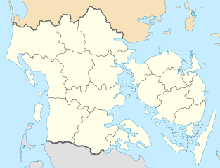
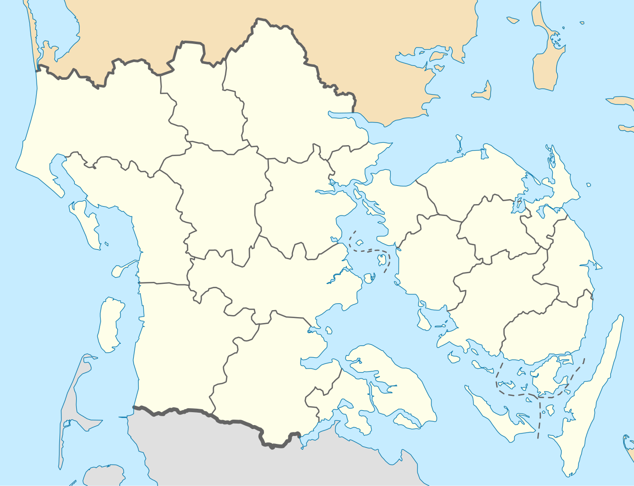
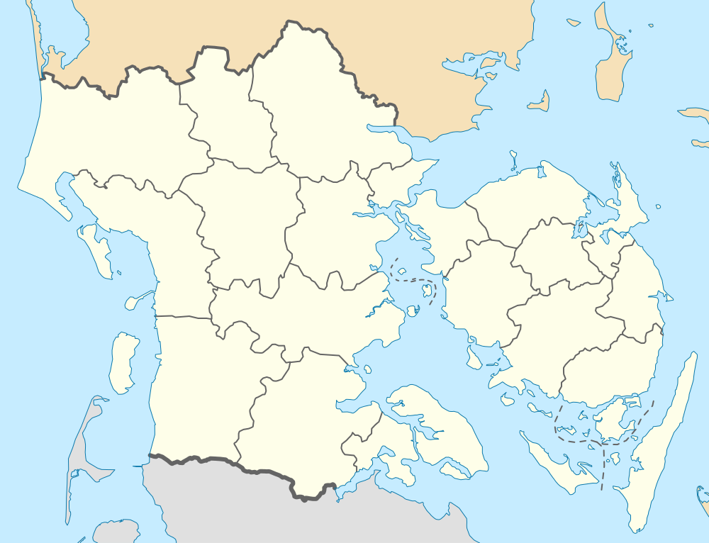
English: Location map of Region South Denmark in Denmark, color adjusted
Equirectangular projection, N/S stretching 177 %. Geographic limits of the map:
Deutsch: Positionskarte von der Region Syddanmark in Dänemark, Farben wurden angepasst
Quadratische Plattkarte, N-S-Streckung 177 %. Geographische Begrenzung der Karte:
Dansk: Positionskort over Region Syddanmark, farverne er justeret.
Kvadratisk udsnit, N-S-strækning 177 %. Geografiske begrænsninger på kortet:
|
| Datum | |
| Boarne | Eigen wurk, derived from Denmark_South_Denmark_location_map.svg |
| Auteur | Erik Frohne |
| Oare ferzjes | Denmark South Denmark location map.svg |
| SVG genesis |
Lisinsje
I, the copyright holder of this work, hereby publish it under the following licenses:

|
Der wurdt tastimming jûn ta kopiearjen, fersprieden en/of wizigjen fan dit dokumint ûnder de betinksten fan de GNU-lisinsje foar iepen dokumintaasje, ferzje 1.2, as eltse lettere ferzje útjûn troch de Free Software Foundation; sûnder Ynfariante Seksjes, sûnder Omkaftteksten foar de Foarkante en sûnder Omkaftteksten foar de Efterkante. In kopy fan de lisinsje is opnaam yn de seksje "Text of the GNU Free Documentation License". |
This file is licensed under the Creative Commons Attribution-Share Alike 3.0 Unported license.
- Fiel jo frij:
- te dielen – it wurk te kopiearjen, fersprieden en út te stjoeren
- te fermingen – it wurk oan te passen
- Under de neikommende betingsten:
- Nammefermelding – You must give appropriate credit, provide a link to the license, and indicate if changes were made. You may do so in any reasonable manner, but not in any way that suggests the licensor endorses you or your use.
- Lyk diele – If you remix, transform, or build upon the material, you must distribute your contributions under the same or compatible license as the original.
You may select the license of your choice.
Triemskiednis
Klik op in datum/tiid om it bestân te besjen sa't it op dat stuit wie.
| Datum/Tiid | Miniatuer | ôfmjittings | Meidogger | Opmerking | |
|---|---|---|---|---|---|
| lêste | 13 jan 2010, 15.26 | | 1.000 × 766 (252 KB) | Erik Frohne | == {{int:filedesc}} == {{Information |Description={{en|1=Location map of Region South Denmark in Denmark, color adjusted Equirectangular projection, N/S stretching 177 %. Geographic limits of the map: * N: 56.00° N * S: 54.70° N * W: 8.00° E * E: 11 |
Bestânsgebrûk
De neikommende 24 siden brûke dit bestân:
- Bogense
- Bovrup
- Domtsjerke fan Haderslev
- Domtsjerke fan Odense
- Domtsjerke fan Ribe
- Esbjerg
- Faaborg
- Haderslev
- Højer
- Mûne fan Højer
- Nikolaastsjerke (Bogense)
- Odense
- Ribe
- Ringe
- Slot Egeskov
- Slot Hvedholm
- Starup
- Svendborg
- Tsjerke fan Ringe
- Tsjerke fan Starup
- Tønder
- Valdemars Slot
- Vejle
- Berjocht:Posysjekaart Súd-Denemark
Globaal bestânsgebrûk
De neikommende oare wiki's brûke dit bestân:
- Gebrûk op da.wikipedia.org
- Esbjerg
- Odense
- Ribe
- Illum (ø)
- Aabenraa
- Dræet
- Æbeløholm
- Assens
- Christiansfeld
- Egeskov Slot
- Fredericia
- Frøslevlejren
- Haderslev Domkirke
- Hagenskov
- Helnæs Fyr
- Marstal
- Middelfart
- Fanø
- Thurø
- Ribe Domkirke
- Sankt Nicolai Kirke (Aabenraa)
- Styrtom
- Tønder
- Billund
- Vorbasse
- Ravningbroen
- Vojens
- Nyborg
- Svendborg
- Svendborgsund
- Rudkøbing
- Seden
- Sønderborg Slot
- Kolding
- Vejle
- Sankt Knuds Kirke (Odense)
- Ærøskøbing
- Strynø
- Odense Kanal
- Ho (by)
- Nyborg Gymnasium
- Kerteminde
- Billund Lufthavn
- Sønderborg
- Tinglev
- Padborg
- Mølholm (Vejle)
- Odense Zoo
- Tarp (Esbjerg Kommune)
- Tandslet
Mear globaal gebrûk fan dit bestân besjen.
.svg)
.svg)