Ofbyld:France location map.svg

Size of this PNG preview of this SVG file: 626 × 600 piksels. Oare resolúsjes: 251 × 240 piksels | 501 × 480 piksels | 802 × 768 piksels | 1.069 × 1.024 piksels | 2.138 × 2.048 piksels | 1.041 × 997 piksels.
Oarspronklik bestân (SVG-bestân, nominaal 1.041 × 997 pixels, bestânsgrutte: 643 KB)
Gearfetting
| Beskriuwing |
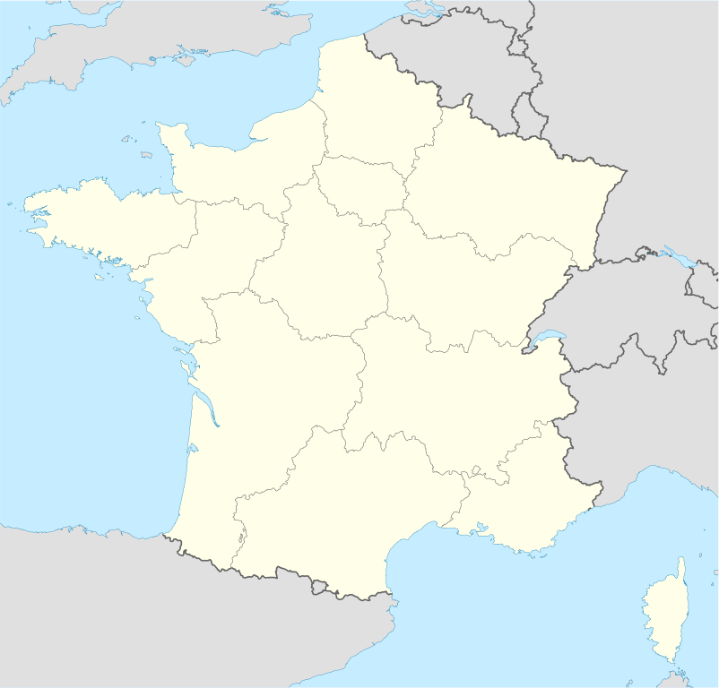
Deutsch: Positionskarte von Frankreich
Quadratische Plattkarte, N-S-Streckung 140 %. Geographische Begrenzung der Karte:
English: Location map of France
Equirectangular projection, N/S stretching 140 %. Geographic limits of the map:
Français : carte des régions Françaises |
||
| Datum | 02-07-2008 | ||
| Boarne | Eigen wurk (Original text: own work, using United States National Imagery and Mapping Agency data) | ||
| Auteur | NordNordWest | ||
| Oare ferzjes |
Derivative works of this file: |
||
| SVG genesis | This map was created with Adobe Illustrator.
|

Lisinsje
NordNordWest, the copyright holder of this work, hereby publishes it under the following licenses:

|
Der wurdt tastimming jûn ta kopiearjen, fersprieden en/of wizigjen fan dit dokumint ûnder de betinksten fan de GNU-lisinsje foar iepen dokumintaasje, ferzje 1.2, as eltse lettere ferzje útjûn troch de Free Software Foundation; sûnder Ynfariante Seksjes, sûnder Omkaftteksten foar de Foarkante en sûnder Omkaftteksten foar de Efterkante. In kopy fan de lisinsje is opnaam yn de seksje "Text of the GNU Free Documentation License". |
This file is licensed under the Creative Commons Attribution-Share Alike 3.0 Unported license.
Nammefermelding: NordNordWest
- Fiel jo frij:
- te dielen – it wurk te kopiearjen, fersprieden en út te stjoeren
- te fermingen – it wurk oan te passen
- Under de neikommende betingsten:
- Nammefermelding – You must give appropriate credit, provide a link to the license, and indicate if changes were made. You may do so in any reasonable manner, but not in any way that suggests the licensor endorses you or your use.
- Lyk diele – If you remix, transform, or build upon the material, you must distribute your contributions under the same or compatible license as the original.
You may select the license of your choice.
Triemskiednis
Klik op in datum/tiid om it bestân te besjen sa't it op dat stuit wie.
| Datum/Tiid | Miniatuer | ôfmjittings | Meidogger | Opmerking | |
|---|---|---|---|---|---|
| lêste | 2 jan 2016, 11.43 | | 1.041 × 997 (643 KB) | Superbenjamin | New borders |
| 2 okt 2012, 14.33 |  | 1.041 × 997 (920 KB) | Palosirkka | Reverted to version as of 14:18, 7 July 2008 Location maps must remain very accurate | |
| 2 okt 2012, 07.33 |  | 1.041 × 997 (566 KB) | Palosirkka | Scrubbed with http://codedread.com/scour/ | |
| 7 jul 2008, 16.18 |  | 1.041 × 997 (920 KB) | NordNordWest | ||
| 5 jul 2008, 20.05 |  | 1.041 × 997 (920 KB) | NordNordWest | corrected | |
| 2 jul 2008, 21.14 |  | 1.041 × 997 (1,17 MB) | NordNordWest | ||
| 2 jul 2008, 21.09 |  | 1.041 × 997 (1,17 MB) | NordNordWest | {{Information |Description= {{de|Positionskarte von Frankreich}} Quadratische Plattkarte, N-S-Streckung 140 %. Geographische Begrenzung der Karte: * N: 51.6° N * S: 41.0° N * W: 5.3° W * O: 10.2° O {{en|Location map of [[:en:France| |
Bestânsgebrûk
De neikommende 72 siden brûke dit bestân:
- Abbaye aux Dames
- Abbaye aux Hommes
- Abdij fan Ardenne
- Abdij fan Cerisy-la-Forêt
- Abdij fan Hambye
- Abdij fan Jumièges
- Abdij fan La Lucerne
- Abdij fan Longues-sur-Mer
- Abdij fan Saint-Georges de Boscherville
- Abdij fan Saint-Pierre-sur-Dives
- Abdij fan Saint-Wandrille
- Abdij fan Vauclair
- Basilique Saint-Donatien-et-Saint-Rogatien
- Basilyk fan Sint-Theresia (Lisieux)
- Besançon
- Cambrai
- Cannes
- Chapelle Saint-Michel d'Aiguilhe
- Circuit Paul Ricard
- Circuit de Dijon-Prenois
- Circuit de Nevers Magny-Cours
- Dijon
- Europacup foar lannen 1960
- Hurdsilen op de Olympyske Simmerspullen 2024
- Karmel fan Lisieux
- Katedraal fan Albi
- Katedraal fan Amiens
- Katedraal fan Bayeux
- Katedraal fan Cambrai
- Katedraal fan Coutances
- Katedraal fan Laon
- Katedraal fan Metz
- Katedraal fan Nantes
- Katedraal fan Oloron
- Katedraal fan Orléans
- Katedraal fan Rouen
- Katedraal fan Senlis
- Katedraal fan Sées
- Katedraal fan Tours
- Katedraal fan Évreux
- Notre-Dame fan Caudebec-en-Caux
- Olympyske Simmerspullen 2024
- Oradour-sur-Glane
- Oranje (stêd)
- Paralympyske Simmerspullen 2024
- Reims
- Roadeljen op de Olympyske Winterspullen 1968
- Saint-Amand-les-Eaux
- Saint-Martin-de-Boscherville
- Sint-Jakobustsjerke (Lisieux)
- Sint-Piterkatedraal (Lisieux)
- Sint-Stefanustsjerke (Caen)
- Sjitsport op de Olympyske Simmerspullen 2024
- Sjitsport op de Paralympyske Simmerspullen 2024
- Sées
- UEFA Euro 1984
- UEFA Euro 2016
- Vesoul
- Wrâldkampioenskip fuotbal 1938
- Wrâldkampioenskip fuotbal 1998
- Église Notre-Dame-de-l'Assomption (Sainte-Mère-Église)
- Église Notre-Dame-des-Champs (Avranches)
- Église Saint-Jean (Caen)
- Église Saint-Juvin (Saint-Juvin)
- Église Saint-Nicolas (Caen)
- Église Saint-Ouen (Rouen)
- Église Saint-Pierre (Caen)
- Église Saint-Rémi (Amiens)
- Église Saint-Tourain (Évreux)
- Église Saint-Étienne-le-Vieux (Caen)
- Église du Vieux Saint-Sauveur (Caen)
- Berjocht:Posysjekaart Frankryk
Globaal bestânsgebrûk
De neikommende oare wiki's brûke dit bestân:
- Gebrûk op av.wikipedia.org
- Gebrûk op ba.wikipedia.org
- Gebrûk op bn.wikipedia.org
- Gebrûk op ceb.wikipedia.org
- Beaulieu
- Beaumont
- Saint-Léger
- Entraigues-sur-la-Sorgue
- Villenave-d'Ornon
- Osse-en-Aspe
- Les Eyzies-de-Tayac-Sireuil
- Quincerot, Côte-d'Or
- Courcelles
- Loguivy-Plougras
- Saint-Erblon, Ille-et-Vilaine
- Locmalo
- Chémery-sur-Bar
- Bourgogne (pagklaro)
- Ferrières
- Beaufort
- Montricher-Albanne
- Bonne
- Montendre
- Cauterets
- Castelmaurou
- Naives-Rosières
- Merlines
- Guémené-Penfao
- Gesté
- Belleau
- Lavalette
- La Chapelle
- Barby
- Gourdon
- Rouvroy
- Remicourt
- Rochefort
- Sainte-Foy, Saône-et-Loire
- Bray
- Villefranche
- Roche
- La Barre
Mear globaal gebrûk fan dit bestân besjen.